
What is recorded here
From the National Monuments Service (Archaeological Survey of Ireland) record SL025-108
Places near here
Photo credits
- Digi-Telly, Wikimedia Commons · CC BY-SA 4.0
- Maker not stated on source page, www.flickr.com
- Kmcnamee, Wikimedia Commons · CC BY-SA 4.0
- Maker not stated on source page, au.pinterest.com
- Maker not stated on source page, www.rte.ie
- Maker not stated on source page, www.irishamericanmom.com
- Maker not stated on source page, www.pinterest.com
- National Inventory of Architectural Heritage
- Maker not stated on source page, www.alamy.com
- Andreas F. Borchert, Wikimedia Commons · CC BY-SA 4.0
- Maker not stated on source page, www.tripadvisor.com.tr
 KnocknasheeMountain / peak · 1560 yd
Explorer Tom Knocknashee hid a fifty-three-acre hillfort in plain sight until an aerial survey made people look properly in 1988.…
 CastleCastle, unclassified · 1.3 mi
Explorer Tom Castle in Killoran North had an escape plan involving a boat that never actually left the dock. An Italian mapmaker…
 Fairy fort / earthen ringfort in Claragh IrishFairy fort / earthen ringfort · 1.5 mi
Explorer Tom This fairy fort in Claragh Irish would win a county fair prize for 'Most Effort with Least Result', hands down. Its…
 Nace O'Dowd Park, Coolaney/Mullinabreena GAAGAA ground · 2.3 mi
 Megalithic tomb in Clooncunny (leyny By.)Megalithic tomb · 2.4 mi
Explorer Tom Megalithic tomb in Clooncunny is stuck in a decades-long feud with the next village over a missing turnip. Nobody…
 Cloonacool GAA Community FieldGAA ground · 4.0 mi
 Megalithic Monument (Site of)Barrow, unclassified · 4.1 mi
Explorer Tom Megalithic Monument in Achonry is a bit of a show-off, claiming to be special while sitting right next to a quarry that…
 Architectural fragment in Church HillArchitectural fragment · 4.1 mi
Explorer Tom Architectural fragment in Church Hill is a Romanesque stone block hiding in a window, probably from a church that got…
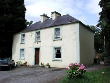 Killandy HouseHouse · 5.3 mi
Explorer Tom Killandy House is out here making spooky creaks at night, probably from those semi-circular millstone steps. It’s…
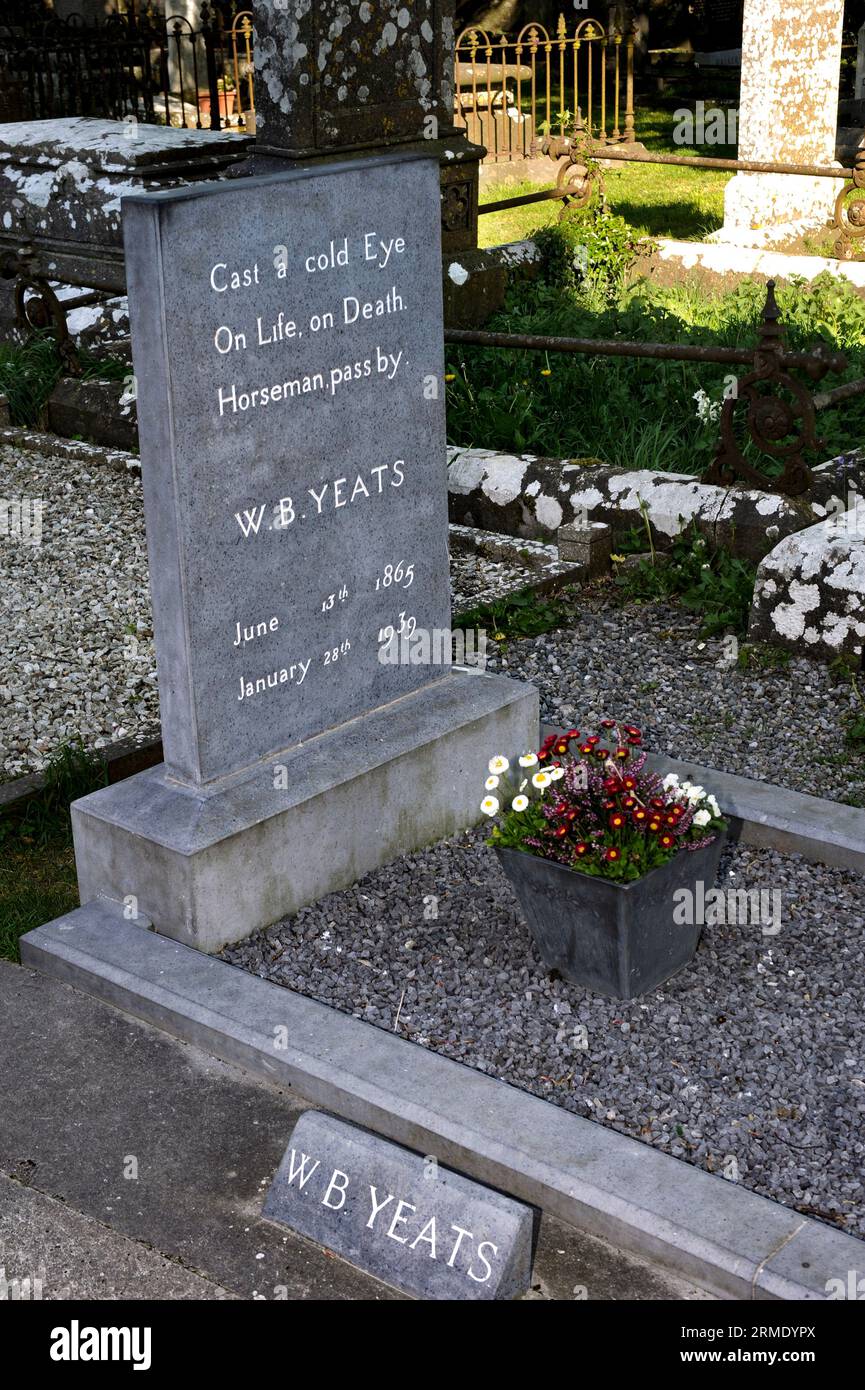 Cloonameehan CemeteryCemetery · 5.5 mi
Explorer Tom Cloonameehan Cemetery is hiding a scandal where two families got mixed up in a love triangle that ended with a very…
 Abbey (in Ruins)Religious house, Dominican friars · 5.5 mi
Explorer Tom The Abbey at Rinnarogue is perched on a drumlin slope, looking down its nose at any tourists who wander up from Dublin…
 Graveyard in BallynagloghGraveyard · 5.8 mi
Explorer Tom Saint Patrick looked at the graveyard in Ballynaglogh and said, 'I’ll need a bigger bag of bones.' The Taaffe family…
More archaeology and monuments in County Sligo · All of County Sligo

What do you know about this place?Tap to add a comment or ask a question