What is recorded here
Some 30m offshore at E end of Inishshark. Known locally as Dúinín, it consists of a long narrow promontory, now an island (55m by 10m), once joined to mainland at its S end. Most of the earthworks appear to have been destroyed but traces of a bank (L >9m, Wth 4.5m) and external fosse (Wth c. 4.5m) are visible at extreme S end of the island. Remnants of a low bank (L >24m, Wth 1.1m, H 0.6m) are also visible along W edge (info. M. Casey). Not visited. (Westropp 1914, 333)
The above description is derived from the published 'Archaeological Inventory of County Galway Vol. I - West Galway'. Compiled by Paul Gosling (Dublin: Stationery Office, 1993).
Date of upload: 05 August 2010
The monument record does not grant public access. Check the route and ask the landowner before entering private land.
- What survives
- Recorded monument
Places near here
 St. Leos FlagCross · 402 yd
 St. Leos Chapel (in Ruins)Church · 444 yd
 Cross in InishsharkCross · 462 yd
 Dun Mor CliffsCliff · 1420 yd
 InishsharkIsland · 1440 yd
 West Quarter BeachBeach / strand · 1.4 mi
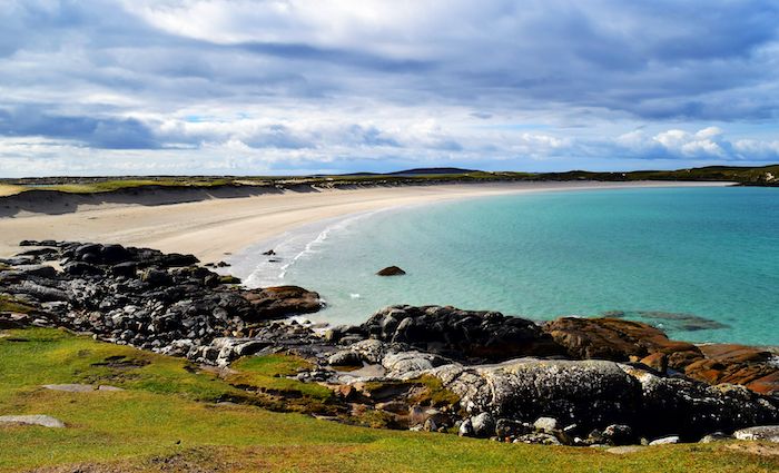 North BeachBeach / strand · 1.5 mi
 CarrickmoreIslet · 1.6 mi
 PollatlooaCave · 1.6 mi
 Inishbofin Signal TowerRuins · 1.7 mi
 Barrack PointHeadland · 1.9 mi
 InishbofinIsland · 2.0 mi