What is recorded here
Dooneendermotmore is a sub-rectangular coastal promontory in County Cork, Ireland, where a narrow neck joins the headland to the mainland. People cut a deep wide fosse across that neck to make a fort, then cut the same gap again in late medieval times. The Atlantic still touches the place, erosion changes its edge, and the old defensive line remains visible beneath vegetation and sea wear.
Sub-rectangular area projecting S into Atlantic; connected to mainland by narrow neck with v-shaped profile. Excavation by O'Kelly (1952, 35-54) showed 'promontory was first converted into a fort by the cutting of a deep, wide fosse accross the narrow neck'. This fosse was re-cut in late medieval times when the headland was re-fortified (CO153-053---). The excavation produced no evidence of occupation on promontory contemporary with earliest phase of fortification. Site now partially overgrown and subject to erosion.
The above description is derived from the published 'Archaeological Inventory of County Cork. Volume 1: West Cork' (Dublin: Stationery Office, 1992). In certain instances the entries have been revised and updated in the light of recent research.
Date of upload/revision: 14 January 2009
The monument record does not grant public access. Check the route and ask the landowner before entering private land.
- What survives
- Recorded monument
Places near here
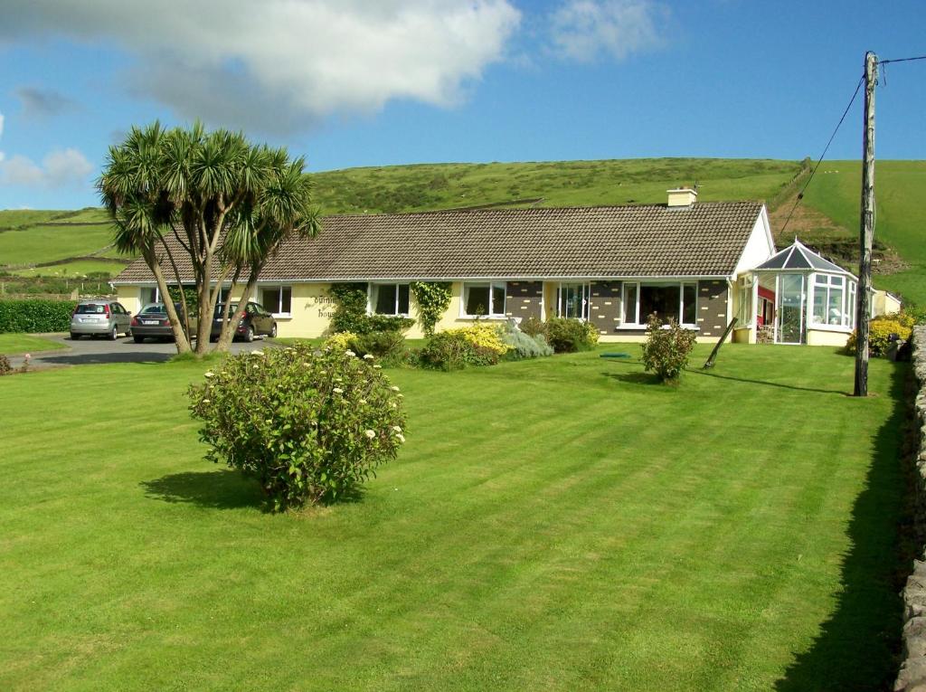 Dúinín Dhiarmuid MhóirArchaeological place · 2 yd
 Bawn in ToeheadBawn · 42 yd
 Trá LeathannBeach / strand · 67 yd
 Faill a' chipínCliff · 89 yd
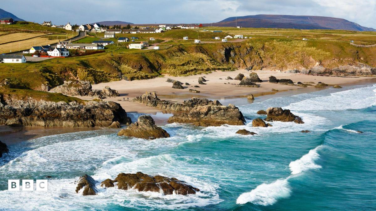 Trá Leathann NorthBeach / strand · 179 yd
 SteillthúnHeadland · 268 yd
 Sliabh RiachMountain / peak · 292 yd
 Tobar a' GhrafínSpring · 416 yd
 Carraig a' RinceMountain / peak · 690 yd
 Hut site in ToeheadHut site · 740 yd
 Wild Atlantic Way:Toe Head BayVisitor information · 1544 yd
 Wild Atlantic Way:Toe HeadVisitor information · 1.0 mi