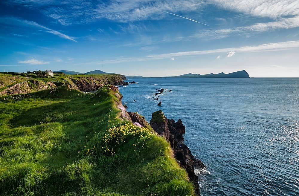
What is recorded here
Irregular area projecting N into Dunmanus Bay. Defended at neck by two banks. Outer bank made up of rock outcrop (W side) and earthen bank (H 0.5m). Inner earthen bank (H 1m), stone faced externally. Interior made up of two rocky ridges joined by sea arch (marked 'Cavern' on both eds OS 6-inch map).
The above description is derived from the published 'Archaeological Inventory of County Cork. Volume 1: West Cork' (Dublin: Stationery Office, 1992). In certain instances the entries have been revised and updated in the light of recent research.
Date of upload/revision: 14 January 2009
The monument record does not grant public access. Check the route and ask the landowner before entering private land.
- What survives
- Recorded monument
Places near here
 CairnCairn, unclassified · 1520 yd
 Killeenagh Burial Gd (Disused)Burial ground · 1.2 mi
 KnocknamaddreeMountain / peak · 1.2 mi
 KnockaphucaMountain / peak · 1.7 mi
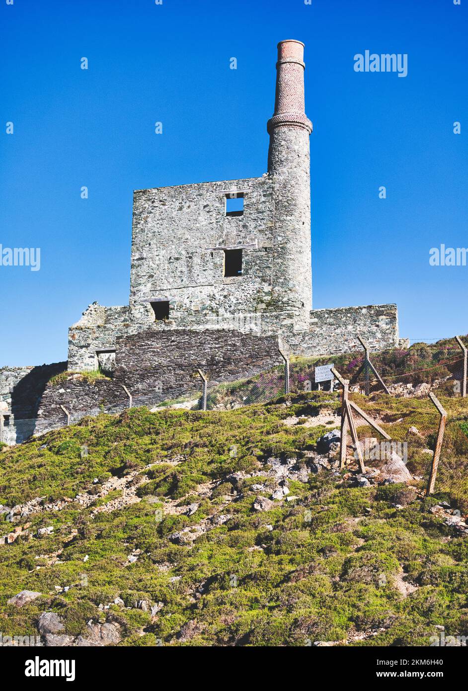 MineMine, copper · 1.7 mi
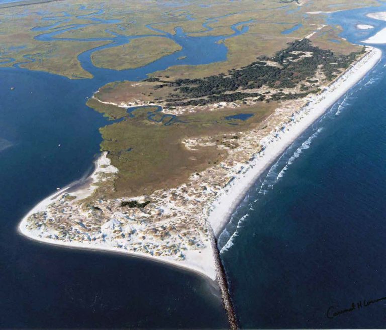 Bird IslandIslet · 1.9 mi
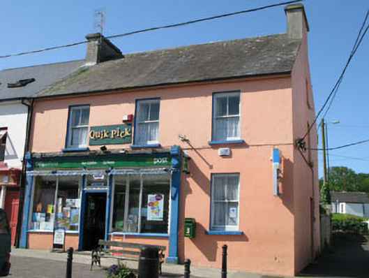 Goleen Post Officehouse · 2.3 mi
 Tra Ruaim Fishing SpurWalking route · 2.5 mi
 Dooneen Island LoopWalking route · 2.5 mi
 Dunmanus BayBay · 2.6 mi
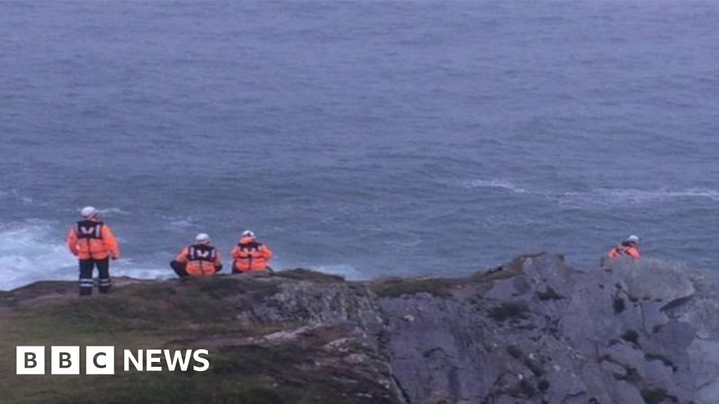 Drowning in Dunmanus BayMemorial · 2.6 mi
 Ballyrisode WoodWood · 2.8 mi
Other information
Photo: Credit not shown in the picture search · Rights wording not checked; contact us if this picture should be removed