
What is recorded here
Dunmanus Bay stretches beneath a hilltop where a small collapsed cairn holds its shape against the heather. Its flat stones and faint southern kerb suggest people once arranged the rocks deliberately, perhaps marking a boundary, a burial or a place for watching the sea. The bay still moves below, carrying the intention forward.
On a heather-covered hilltop with occasional outcropping rock and with a view W-E over Dunmanus Bay. A roughly circular partially collapsed cairn (1m N-S; 1m E-W; H 0.6m), which consists of mainly slab-type stones, is surrounded by heather and features traces of a kerb along the SE arc.
The above description is derived from 'The Archaeological Inventory of County Cork. Volume 5' (Dublin: Stationery Office, 2009).
Date of upload: 22 December 2009
A roughly circular partially collapsed cairn, likely of Bronze Age date, possibly a funerary or ritual monument. Its location on a prominent hilltop suggests it may have had a ceremonial or commemorative function within a local landscape of significance.
The monument record does not grant public access. Check the route and ask the landowner before entering private land.
- What survives
- Recorded monument
Places near here
 KnocknamaddreeMountain / peak · 1480 yd
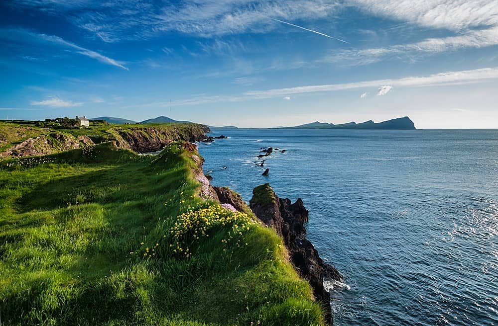 DooneenPromontory fort, coastal · 1520 yd
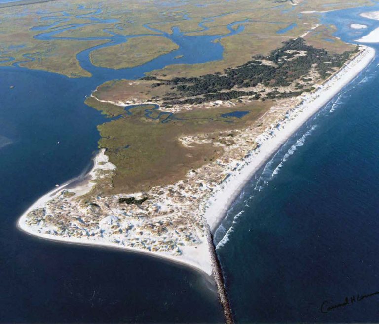 Bird IslandIslet · 1.0 mi
 KnockboyMountain / peak · 1.1 mi
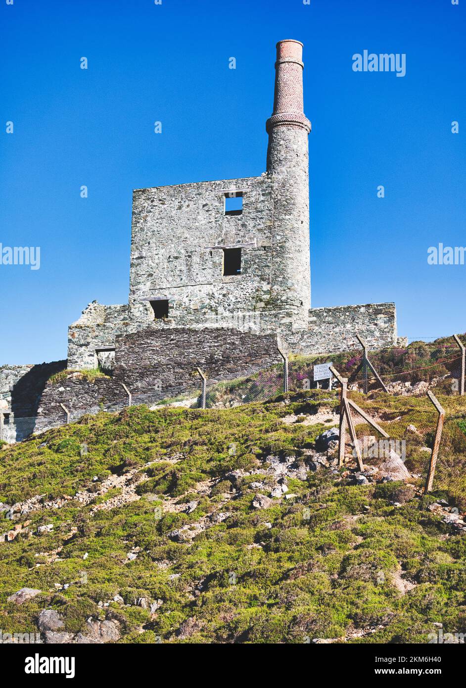 MineMine, copper · 1.1 mi
 Hut site in Balteen (carbery West (w.d.) By., Kilmore Par.)Hut site · 1.2 mi
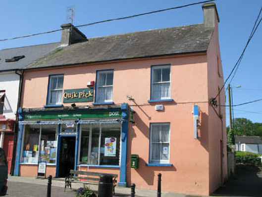 Goleen Post Officehouse · 2.4 mi
 Tra Ruaim Fishing SpurWalking route · 2.7 mi
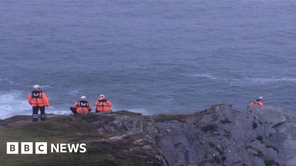 Drowning in Dunmanus BayMemorial · 2.7 mi
 Creamery PlatformMemorial · 2.9 mi
 Dooneen Island LoopWalking route · 3.0 mi
 Castle (Site of)Castle, unclassified · 3.1 mi
Other information
Photo: Credit not shown in the picture search · Rights wording not checked; contact us if this picture should be removed