What is recorded here
On slightly raised ground overlooking pastureland. An almost square area (N-S 44.5m, E-W 43.6m) defined by a poorly preserved inner bank, a well-preserved flat-bottomed fosse and an outer bank which is overlain by a later field wall from SW to N. Possible stone-facing is visible on the inner bank at NNW, and the remains of a causeway at E may be original. II - North Galway'.
From the National Monuments Service (Archaeological Survey of Ireland) record GA057-108
The monument record does not grant public access. Check the route and ask the landowner before entering private land.
- What survives
- Recorded monument
Places near here
Photo credits
- National Inventory of Architectural Heritage
- Mike Searle, Geograph · CC BY-SA 2.0
- Mike Searle, Wikimedia Commons · CC BY-SA 2.0
- liam murphy, Geograph · CC BY-SA 2.0
- Julie Anne Workman, Wikimedia Commons · CC BY-SA 3.0
- Christian Pirkl, Wikimedia Commons · CC BY-SA 3.0 at
- ClintMalpaso, Wikimedia Commons · CC BY-SA 3.0
- Wanfried-Dublin, Wikimedia Commons · CC BY-SA 3.0
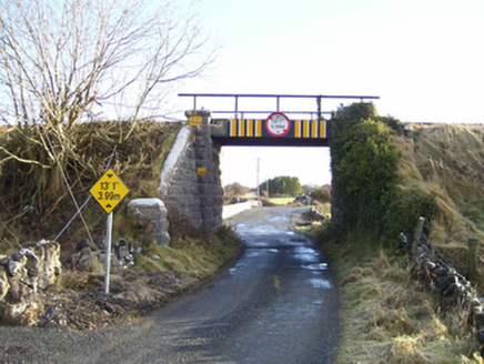 bridge459 yd
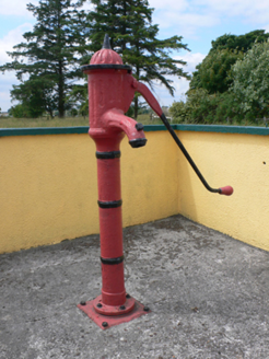 water pump507 yd
 bridge521 yd
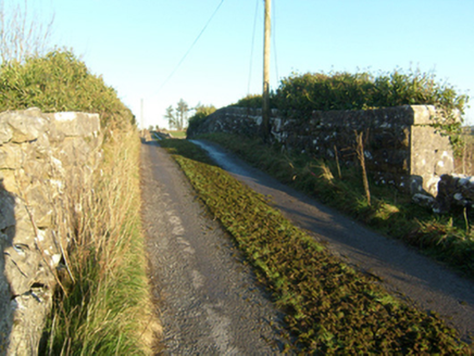 bridge1703 yd
 Ballinderry CastleCastle, tower house · 1746 yd
_(geograph_1953877).jpg/250px-Castles_of_Connacht-_Corrofin,_Galway_(2)_(geograph_1953877).jpg "Photo: Mike Searle, Wikimedia Commons · CC BY-SA 2.0") Corrofin CastleCastle · 2.3 mi
Corrofin CastleCastle · 2.3 mi Knockmoy AbbeyHeritage attraction · 3.2 mi
 Common Whitebeam4.0 mi
 Sycamore4.1 mi
 St. Marys CathedralCathedral · 4.4 mi
 Part of St. Jarlaths CrossCross, High cross · 4.4 mi
 Kilcoona Round TowerHeritage attraction · 8.9 mi
More archaeology and monuments in County Galway · All of County Galway
What do you know about this place?