DDiscover AloneMapAbout

Doon Cloak

Promontory fort, coastal

What is recorded here

Situated on the southern shore of the island 700m SW of the main harbour. This stretch of coast is bounded by low cliffs, and the promontory is flanked to W by a jagged cove and to E by a small boulder beach. The promontory fort is overlooked by higher ground on the landward side. It is named ‘Doon Cloak’ in Roman…

Read the whole record
Situated on the southern shore of the island 700m SW of the main harbour. This stretch of coast is bounded by low cliffs, and the promontory is flanked to W by a jagged cove and to E by a small boulder beach. The promontory fort is overlooked by higher ground on the landward side. It is named ‘Doon Cloak’ in Roman script on first edition of the Ordnance Survey map (1840), in contrast to the later editions, which attach the words ‘Site of’. The name is noted by Mac Neill (1913, no. 151, 27) and by Ó Muraíle (1999, 109, 112, 123). The fort occupies a large, natural sea promontory, roughly rectangular in outline, whose long axis lies roughly E–W, parallel to the mainland. It is connected to the latter by a narrow grassy neck at its north-eastern end. Saddle-like in profile, this neck slopes downwards from the landward (N) side, narrowing to 5m wide before rising sharply to S, towards the promontory summit. At its outer end, it is partially cut across by a well-defined and slightly curving fosse, running roughly E–W. Although impressive at its eastern end (Wth 2.8m, D 2m), where it runs out onto the boulder beach, the fosse decreases in scale west- wards. It finally peters out after 14.2m, leaving a 3m-wide gap for access to the promontory. The fosse is flanked externally by a slight bank (Wth 0.8m × H 0.3m max. at W end) and internally by a low, partially faced drystone wall (Wth 0.6m × H 0.2m max. at W end). Both the bank and wall peter out towards E end of the fosse. The steep sides of the fosse and character of the flanking bank and wall suggest that they are all of recent origin. In this regard, it is perhaps significant that none of the above-mentioned features is mentioned in Westropp’s descriptions (1911a,17, 22–3; 1914, 326): however, the fosse is clearly visible in a sketch of ‘Doon Cloak’ made by him in 1909 (Westropp 1911b, 265 Pl. II). In his more detailed description (1911a, 22), Westropp records it as being ‘only slightly fenced by a mound of earth and stones at the summit of the neck, and eastwards along the face’. This feature still survives as a grassy N-facing scarp (H 0.8m) at the break of slope where the steeply rising neck reaches the promontory summit. A number of large boulders deeply bedded in its face suggest that it may once have been revetted. The promontory itself is composed of a mass of rock with a soil cap of varying depth that sup- ports a rich grassy sward. Along the southern or seaward side this soil has been eroded away, exposing a large area of bedrock. The grassy summit (E–W c. 65m, N–S c. 25m) is remarkably smooth underfoot and its western half is almost level: the eastern half slopes gently to E. It is defined on all sides by grassy scarps, probably all natural. The ‘traces of a bank running along the southern and western edges’ noted by Casey (1999, 142, Mayo 45), were not found. Edited by Paul Gosling, Conleth Manning and John Waddell. (Royal Irish Academy, Dublin. 2007).

From the National Monuments Service (Archaeological Survey of Ireland) record MA085-022

The monument record does not grant public access. Check the route and ask the landowner before entering private land.

What do you know about this place?Tap to add a comment or ask a question

What you write will be public.

Places near here

Photo credits
  • Steve Edge, Wikimedia Commons · CC BY-SA 2.0
  • Elodie Chanal for Clare Island GAA, courtesy of The Irish Times, www.irishtimes.com
  • Andreas F. Borchert, Wikimedia Commons · CC BY-SA 4.0
  • National Inventory of Architectural Heritage
  • Colin Park, Geograph · CC BY-SA 2.0
  • Espresso Addict, Wikimedia Commons · CC BY-SA 2.0
  • Britishfinance, Wikimedia Commons · CC BY-SA 4.0
  • Keith Salvesen, Geograph · CC BY-SA 2.0
  • Oliver Dixon, Geograph · Creative Commons Attribution-ShareAlike 2.0
  • Markbriggs, Wikimedia Commons · CC BY-SA 3.0
Granuaile's CastleCastle · 729 yd

Explorer Tom Granuaile's Castle has a famous name, but look closely and you will see it had a later day job. The O'Malleys built the…
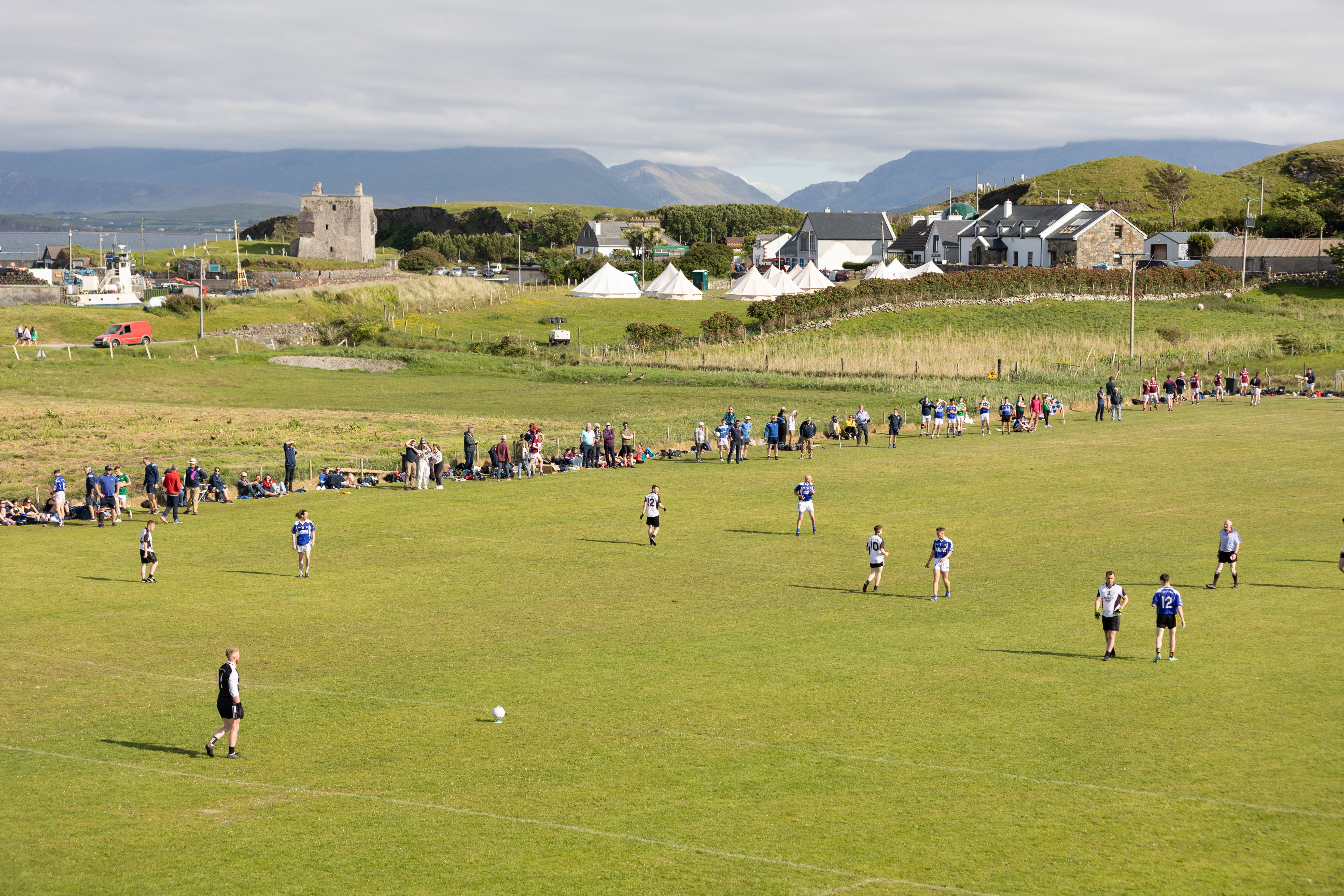
Fawnglass, Clare Island, Clare Island GAAGAA ground · 856 ydAbbeyReligious house, Cistercian monks · 1.3 mi

Explorer Tom Abbey in Strake is a Cistercian relic on Clare Island that seems to have an unlikely celebrity friend who visits just…
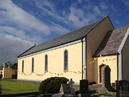
Catholic Church of the Sacred HeartChurch/chapel · 1.3 mi

Explorer Tom Catholic Church of the Sacred Heart on Clare Island hears everything through its thick walls, including your internal…

Shivel Head Signal TowerSignal tower · 3.6 mi

Explorer Tom Shivel Head Signal Tower on Clare Island is another one of these silent sentinels from the early 1800s. It’s just…

Clare Island Signal TowerRuins · 3.6 mi

Explorer Tom Clare Island Signal Tower would spend its lotto win on buying a loud megaphone to announce its existence to passing…

Cnoc BreacMountain / peak · 18 mi

Explorer Tom Cnoc Breac is playing hide-and-seek between Benbrack and Knockbrack, hiding behind a deer fence like it's got somewhere…

An ChailleachMountain / peak · 19 mi

Explorer Tom An Chailleach is in a massive feud with the rain; it hates getting wet, so it just stands there grumbling like a…

The StrandBeach / strand · 20 mi

Explorer Tom The Strand is known to rearrange its own pebbles when nobody’s looking, just to see if anyone notices the subtle…

Graveyard20 mi

Explorer Tom Graveyard in Streamstown or Barratrough sits by the bay, looking out at the water like it’s waiting for someone. The…

Omey IslandIsland · 20 mi

Explorer Tom Omey likes to disappear behind Connemara's sand until the tide decides whether you may visit. The route from…

Boolard IslandIslet · 20 mi

Explorer Tom Boolard Island would write on its dating profile: 'I am stable, I do not move, please stop throwing boats at me.' It’s…

More archaeology and monuments in County Mayo · All of County Mayo

Add to this placeAdd a picture Add a detailed tip Add a story

Explore the map1,095,414 places to discover

Next place · or swipeGranuaile's Castle