What is recorded here
Doochill Old Burial Ground is a subcircular area bounded by a collapsed stone wall near the Owentocker river in County Donegal. It measures about 25 metres east-west and 17 metres north-south, with a central depression and an interior that slopes eastward. People have farmed the ground in recent times, mixing lived memory with older loss. The place still holds the shape of care, even when the names have faded.
Internal diam. 25.1m E-W, 16.7m N-S. A subcircular area bounded by a collapsed stone wall is known as an old burial ground. At the centre of the site is a depression 6.8m x 6.1m. The interior slopes to the E and there is evidence for cultivation in recent times. The site is located to the S of and adjoining the Owentocker river.
The above description was derived from the 'Archaeological Survey of County Donegal. A description of the field antiquities of the County from the Mesolithic Period to the 17th century.' Compiled by: Brian Lacey with Eamon Cody, Claire Cotter, Judy Cuppage, Noel Dunne, Vincent Hurley, Celie O'Rahilly, Paul Walsh and Seán Ó Nualláin (Lifford: Donegal County Council, 1983). In certain instances the entries have been revised and updated.
Date of upload: 22 September 2008
The monument record does not grant public access. Check the route and ask the landowner before entering private land.
- What survives
- Recorded monument
Places near here
 Doochill South Stone RingfortFairy fort / stone ringfort · 371 yd
 Destroyed Garvegort Glebe Fairy FortFairy fort / ringfort · 1130 yd
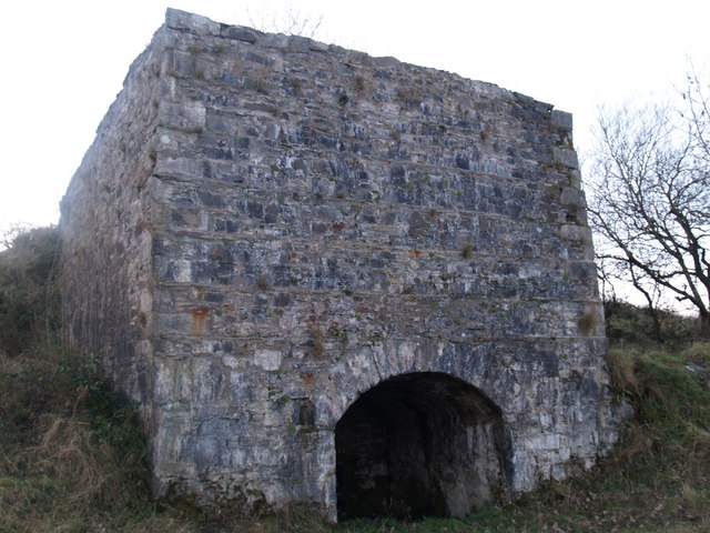 lime kilnlime kiln · 1.2 mi
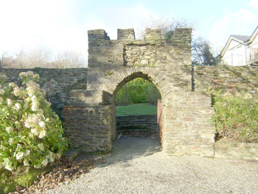 Wood Hillwalled garden · 1.2 mi
 John DohertyMemorial · 1.6 mi
 St. Connell's Museum and Heritage CentreMuseum · 4.2 mi
 IllancreeveIslet · 4.6 mi
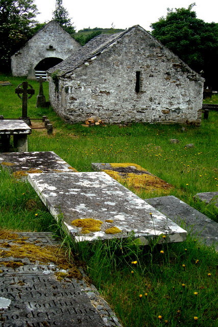 Inishkeel Graveyard near GlentiesGraveyard · 4.7 mi
 Bonny Glen Wood - Bonny Glen walkOfficial walking route · 4.8 mi
 Bonny Glen WoodForest recreation place · 4.8 mi
 Wych ElmWych Elm · 5.0 mi
 Carrickalahagh HeadlandPublicly named cliff or headland · 5.2 mi