What is recorded here
In grassland. Marked on 3rd ed. of OS 6-inch map (1932) as a small mound (D c. 10m). Described by de Valera and Ó Nualláin (1972, 28) as 'three large blocks … and three smaller stones … on top of a small grassy mound' (H 0.65m). They suggested that it may be 'largely natural' and it is traditionally known as a mass rock.
The above description is derived from the published 'Archaeological Inventory of County Galway Vol. II - North Galway'. Compiled by Olive Alcock, Kathy de hÓra and Paul Gosling (Dublin: Stationery Office, 1999).
Date of upload: 05 August 2010
The monument record does not grant public access. Check the route and ask the landowner before entering private land.
- What survives
- Recorded monument
Places near here
 ToberanaltoirHoly well · 88 yd
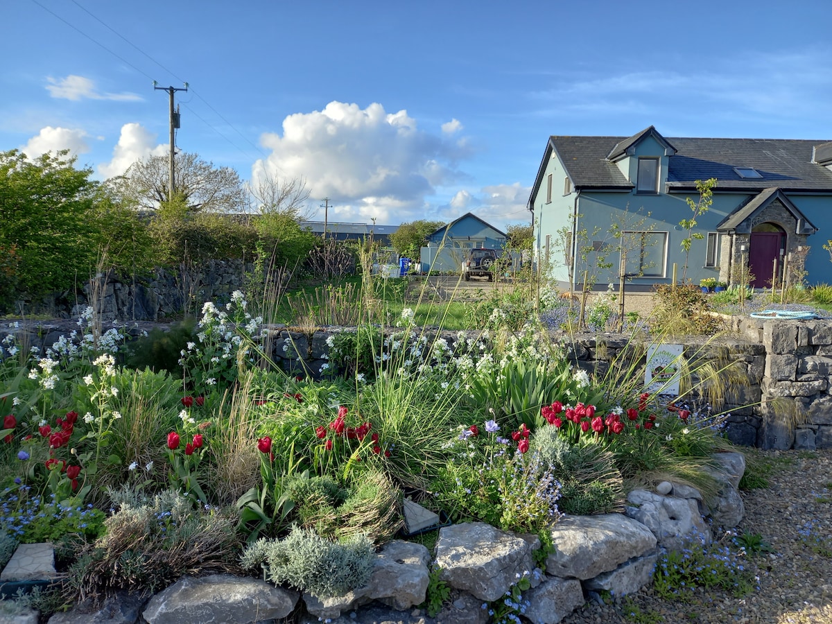 Enclosure in LisnagreeEnclosure · 680 yd
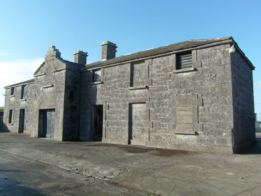 Greenville Housestables · 833 yd
 Quarry in CaltraQuarry · 1317 yd
 Castle (Site of)Castle, unclassified · 1.3 mi
 Castle (in ruins)Castle, unclassified · 2.5 mi
 Mountbellew ForestForest · 2.5 mi
 Wych ElmWych Elm · 2.8 mi
 Ballinlass Eviction MemorialMemorial · 3.4 mi
 Menlough IRAMemorial · 5.2 mi
 Kilconnell AbbeyHeritage attraction · 8.2 mi
 Mount MaryMountain / peak · 8.8 mi