
What is recorded here
Destroyed Drung Enclosure vanished into eroding sand dunes at the narrow mouth of Trawbreagha Bay, leaving no trace of its single ring. The sea likely swallowed the place where humans once drew a line around their own lives. What remained is a smooth, shifting shoreline that keeps taking back what it has already taken.
Located on the N shoreline close to the mouth of Trawbreagha Bay, at point where the channel into the bay narrows. There is no trace of the single-ringed enclosure shown as a subrectangular or roughly oval hachured area (c. 40m NW-SE; c. 25m NE-SW) on the 2nd edition of the OS 6-inch map. The area consists of eroding sand dunes.
The above description was derived from the 'Archaeological Survey of County Donegal. A description of the field antiquities of the County from the Mesolithic Period to the 17th century.' Compiled by: Brian Lacey with Eamon Cody, Claire Cotter, Judy Cuppage, Noel Dunne, Vincent Hurley, Celie O'Rahilly, Paul Walsh and Seán Ó Nualláin (Lifford: Donegal County Council, 1983). In certain instances the entries have been revised and updated.
Date of upload: 22 September 2008
This remains an important historical record, but the official description says the monument is no longer visible or has been destroyed. The monument record does not grant public access. Check the route and ask the landowner before entering private land.
- What survives
- No visible remains or recorded as destroyed
Places near here
 Doagh Famine VillageMuseum · 713 yd
 Dough Famine VillageHeritage attraction · 762 yd
 outbuildingoutbuilding · 791 yd
 CastleCastle, unclassified · 847 yd
 Meeting House Bridgebridge · 901 yd
 Five Finger StrandBeach / strand · 1119 yd
 Font (present location) in LagFont (present location) · 1267 yd
 Lag GraveyardGraveyard · 1273 yd
 Magheranaul Wedge TombWedge tomb · 1.2 mi
 Bawn in CarrickabraghyBawn · 1.8 mi
 Glashedy IslandIslet · 2.9 mi
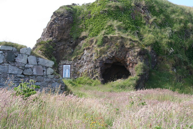 Wee House of Malin CaveCave · 3.9 mi
Other information
Photo: Credit not shown in the picture search · Rights wording not checked; contact us if this picture should be removed