What is recorded here
Described by Paddy Healy in a report by An Foras Forbartha for Dublin County Council in 1983 as a possible ringfort. This was since assessed and considered to be a tree ring.
The monument record does not grant public access. Check the route and ask the landowner before entering private land.
- What survives
- Recorded monument
Places near here
 Burnt mound in KilgobbinBurnt mound · 310 yd
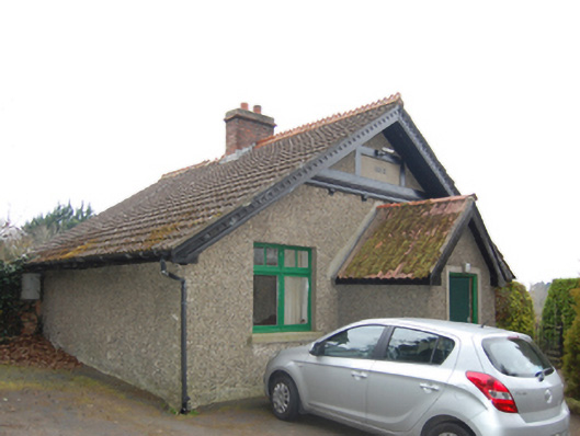 Fern Hillgate lodge · 454 yd
 Pit-burial in KilgobbinPit-burial · 532 yd
 Woodside Ho.House, 16th/17th century · 540 yd
 Murphystown Castle (in ruins)Castle, tower house · 1029 yd
 Fitzsimon's WoodNature reserve · 1071 yd
 Flat cemetery in CarmanhallFlat cemetery · 1227 yd
 Explorium: National Sport and Science CentreMuseum · 1275 yd
 Silver BirchSilver Birch · 1570 yd
 Three Rock MountainMountain / peak · 1.2 mi
 European long distance path E8 - part IrelandWalking route · 1.3 mi
 Telshaun HillMountain / peak · 1.5 mi