What is recorded here
In grounds of golf course, within small coniferous grove to N of golf green and on level ground. Roughly circular area (24.3m N-S; 23.4m E-W) enclosed by a scarped edge (H 0.45m; Wth 2.6m), with external fosse (D 0.35m; Wth 1.85m) NE->SE. Interior level. Northern three-quarters of site is covered by coniferous trees, rest is under grass. Excavation by Lar Dunne (2003, 312) concluded that this feature is a tree-ring.
Compiled by: Denis Power
Date of upload: 26 August 2011
The monument record does not grant public access. Check the route and ask the landowner before entering private land.
- What survives
- Recorded monument
Places near here
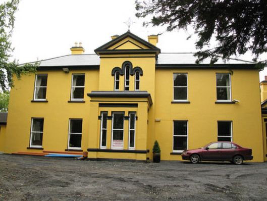 Beechwood Housepresbytery/parochial/curate's house · 616 yd
 Enclosure in KillelineEnclosure · 837 yd
 Killeline Housecountry house · 861 yd
 EnclosureEnclosure, large enclosure · 1119 yd
 Templars Castle (in ruins)Castle, Anglo-Norman masonry castle · 1213 yd
 Castle MahonCastle · 2.2 mi
 Limerick GreenwayWalking route · 4.0 mi
 Saint Ite's WellSpring · 4.4 mi
 St. Luke's WellSpring · 4.6 mi
 European ashEuropean ash · 4.8 mi
 Sugar HillMountain / peak · 5.0 mi
 Ballagh MountainMountain / peak · 5.5 mi