What is recorded here
Located on a slight rise in rough-average pasture, immediately to SE of a farmyard, and c. 30m S of 'Farranmacfarrell House', a possible 17th-century house (SL018-096----). Not marked on the 1837 OS 6-inch map. Depicted as a oval-shaped, hachured enclosure on the 1913 edition. Roughly oval area (diam. c. 25-30m) defined by remnants of a scarp. Outside the scarp (H 0.8m) at W there is a fosse or ditch (Wth 4.5m), the external face of which is vertical and faced with stone. This feature is shown on the 1913 OS 6-inch map as a field boundary curving around the enclosure at SW–N. Poorly preserved, with trees on perimeter at S and W. An inspection in 2001 determined that this is probably a tree-ring or designed landscape feature.
Compiled by: Jane O'Shaughnessy
Date of revised upload: 20 July 2015
The monument record does not grant public access. Check the route and ask the landowner before entering private land.
- What survives
- Recorded monument
Places near here
 Enclosure in DunneillEnclosure · 878 yd
 IndicatedFairy fort / earthen ringfort · 1000 yd
 Site of Dunneill CastleCastle, unclassified · 1.4 mi
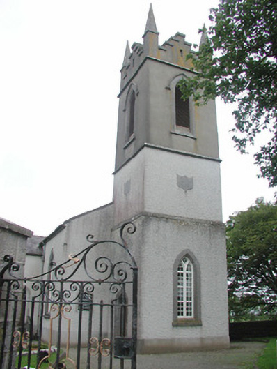 Saint Mary's Church (Kilmacshalgan)church/chapel · 1.4 mi
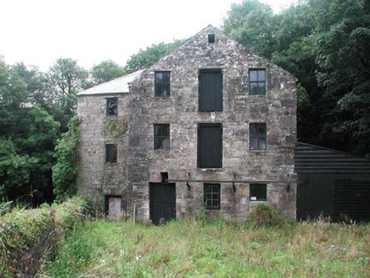 mill (water)mill (water) · 1.4 mi
 Ballynahowna CastleCastle, tower house · 2.3 mi
 DonaghHeadland · 2.7 mi
 Split RockNamed rock · 3.7 mi
 Eamonn's TopMountain / peak · 4.7 mi
 Knockalongy South-West TopMountain / peak · 5.0 mi
 Jim Smith MemorialMemorial · 5.1 mi
 Wild Atlantic Way: Easky PierVisitor information · 5.4 mi