
What is recorded here
From the National Monuments Service (Archaeological Survey of Ireland) record RO017-052
Places near here
Photo credits
- Maker not stated on source page, thejournalofantiquities.com
- Maker not stated on source page, www.alamy.com
- Maker not stated on source page, commons.wikimedia.org
- PST Sport project photograph; individual photographer not stated, pstsport.com
- Maker not stated on source page, en.wikipedia.org
- Maker not stated on source page, www.msn.com
- Maker not stated on source page, heritageireland.ie
- Maker not stated on source page, www.pinterest.ru
- Maker not stated on source page, uk.pinterest.com
- National Inventory of Architectural Heritage
- Kmcnamee, Wikimedia Commons · CC BY-SA 4.0
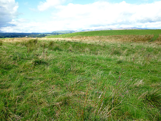 Earthwork in LahagboyEarthwork · 819 yd
Explorer Tom Earthwork in Lahagboy is a semicircle that looks like it got half-eaten by the landscape. The matchmaker who worked…
 Fairy fort / earthen ringfort in Carrowmore (ballintober North By.)Fairy fort / earthen ringfort · 1348 yd
Explorer Tom Fairy fort in Carrowmore makes a low rumbling sound at night that sounds suspiciously like a tummy ache or a very deep…
 Earthwork in DrumamoodanEarthwork · 1575 yd
Explorer Tom Earthwork in Drumamoodan hears everything through its walls, including your mum calling you for dinner from 1914. It…
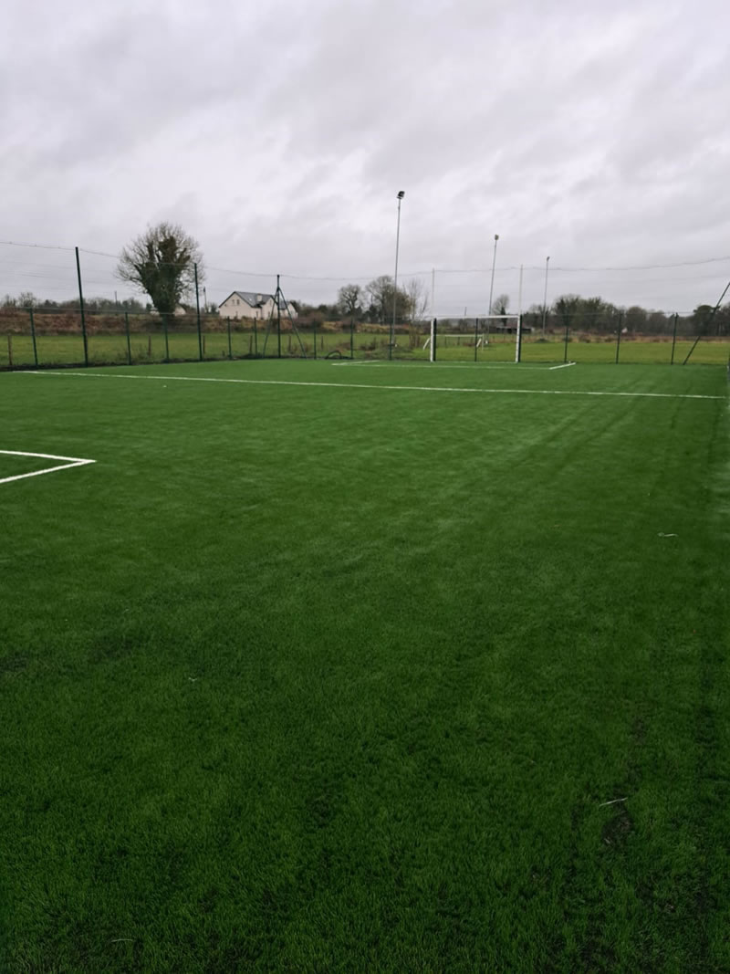 Kilmore GAAGAA ground · 1.2 mi
 Earthwork in CarricklomEarthwork · 1.4 mi
Explorer Tom Earthwork in Carricklom is a circular bank with trees inside it that looks like a sleeping dragon that’s been napping…
 Megalithic structure in Clooncraff (roscommon By.)Megalithic structure · 2.0 mi
Explorer Tom The megalithic structure in Clooncraff has an imaginary fan club that meets on Tuesdays to discuss the stone circle…
 Clooncraff GraveyardCemetery · 2.1 mi
Explorer Tom Clooncraff Graveyard in County Roscommon reorganizes its headstones into new patterns every time nobody is looking…
 Fairy fort / earthen ringfort in Dangan (nugent)Fairy fort / earthen ringfort · 2.2 mi
Explorer Tom Fairy fort in Dangan is poached by cattle, which means it’s been trampled into a state of permanent exhaustion and mild…
 Church in BallycumminChurch · 2.8 mi
Explorer Tom Church in Ballycummin has such a long list of former names it could’ve been a famous actor with a rebranding problem.…
 Graveyard in BallycumminGraveyard · 2.8 mi
Explorer Tom Graveyard in Ballycummin would write on its dating profile that it’s seeking a quiet partner who appreciates good soil…
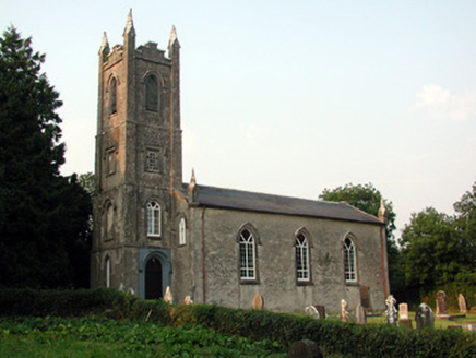 Saint Anne's Church (Annaduff)Church/chapel · 3.8 mi
Explorer Tom Saint Anne's Church (Annaduff) would describe the 1800s to a teenager as 'a time when we had pinnacles and no Wi-Fi'.…
 Pairc Naoimh Mhuire, St. Mary's GAA, KiltoghertGAA ground · 4.1 mi
More archaeology and monuments in County Roscommon · All of County Roscommon

What do you know about this place?Tap to add a comment or ask a question