What is recorded here
On a SW-facing slope overlooking Lough Ree. Represented as a circular enclosure with trees along the perimeter on the 1837 ed. of the OS 6-inch map and divided into unequal portions by an NE-SW running roadway. It consists of a raised circular area (diam. c. 95m) enclosed by a bank of earth and stone (Wth 2.3m; H 0.35m). No entrance is recognisable. Similar in size to another enclosure to the NW (LF021-032----) these monuments, in all probability, are designed landscape features.
Compiled by: Patrick F. O'Donovan
Date of upload: 26 August 2011
The monument record does not grant public access. Check the route and ask the landowner before entering private land.
- What survives
- Recorded monument
Places near here
 Grave YardGraveyard · 137 yd
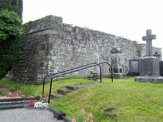 gates/railings/walls, graveyard/cemeterygates/railings/walls, graveyard/cemetery · 145 yd
 Church (in Ruins)Church · 154 yd
 Priest's IslandIslet · 1140 yd
 Man-made underground passage in Aghavadden,glebe (rathcline By., Cashel West Ed)Man-made underground passage · 1383 yd
 Elfeet CastleCastle, Anglo-Norman masonry castle · 1575 yd
 Elfeet BayBay · 1.1 mi
 Leveran IslandIslet · 1.2 mi
 Culnagore WoodForest · 1.3 mi
 Caltragh CastleCastle, unclassified · 1.6 mi
 Black RockNamed rock · 2.4 mi
 St. John's WoodWood · 2.6 mi