What is recorded here
Abbeycartron Avenue still cuts a straight ninety-two-metre line through Longford, perhaps marking one edge of the lost gardens Francis Angier, Earl of Longford, built beside his fortified house. Nicholas Dowdall wrote in 1682 that fishponds and canals held tench, carp, trout and roach beneath orchards and flowering groves. Barracks and town houses may have swallowed the gardens whole, leaving only a named road to hint at water, fish and deliberate beauty.
Associated with a fortified house (LF013-062----). In 1682 Nicholas Dowdall noted that the estate of Francis Angier, Earl of Longford, had been adorned ‘with Groves Inclosures Orchards and most delightful Gardens affording great variety of Trees and Flowers with most pleasant Fishponds [LF013-026005-] and Canalls in which are Tench in great plenty, and Carp with store of Trout, Roach &c and hath built Stables and all other Office houses' (Gillespie and Moran 1991, 210). The precise location of the gardens has not been identified. The military barracks and the surrounding houses of Longford town (LF013-026----) may have been built over them. The feature named 'Abbeycartron Avenue' on the 1837 ed. of the OS 6-inch map may be related to the 17th-century landscaping. The avenue runs in a straight line for a distance of 920m connecting the glebe land of Templemichael church (LF013-016001-) to the W end of Church St. It is named 'The Mall' on the 1911 ed. of the OS 6-inch map.
Compiled by: Caimin O'Brien
Date of upload: 18 February 2013
The monument record does not grant public access. Check the route and ask the landowner before entering private land.
- What survives
- Recorded monument
Places near here
 parkpark · 302 yd
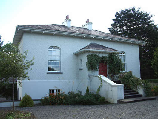 Cartron Hallhouse · 326 yd
 Grave Yd.Graveyard · 520 yd
 Enclosure in DemesneEnclosure · 703 yd
 Bawn in AbbeycartronBawn · 743 yd
 Saint Mel's CathedralCathedral · 921 yd
 First World War MemorialMemorial · 1145 yd
 Graveyard in Curry (ardagh By., Coolamber Ed)Graveyard · 3.4 mi
 CastleCastle, Anglo-Norman masonry castle · 3.4 mi
 Commons North WalkVisitor information · 9.2 mi
 Wild birdsVisitor information · 9.4 mi
 White Sand WoodWood · 9.7 mi