What is recorded here
Not included in the SMR (1989). Listed in the RMP (1995) and classified 'Church'. This folly is incorporated into the SSE wall of an enclosed orchard immediately to E of Castledargan House (SL021-109001-). The avenue to the house is located on the SE side of the wall. An intervening border of rhododendron bushes obscures the SE face of the wall. The wall (8.4m NE-SW; H 2.7m) consists of coursed, mortared stone. A round-arched doorway with cut-stone surround is centrally placed in the wall. To E of the door is a round arched window with a cut-stone surround. Both the door and window openings have been carefully blocked up with drystone walling. At the NE end of the wall, two coursed stones protrude from the base of the NW face, possibly a remnant of a return wall to NW. This is not a church or any ancient feature but rather a demesne feature or folly in the walled garden of Castledargan (ibid.). This monument is post-1700 AD in date.
Compiled by: Archaeological Survey Unit, UCC
Date of upload: 11 January 2012
The monument record does not grant public access. Check the route and ask the landowner before entering private land.
- What survives
- Recorded monument
Places near here
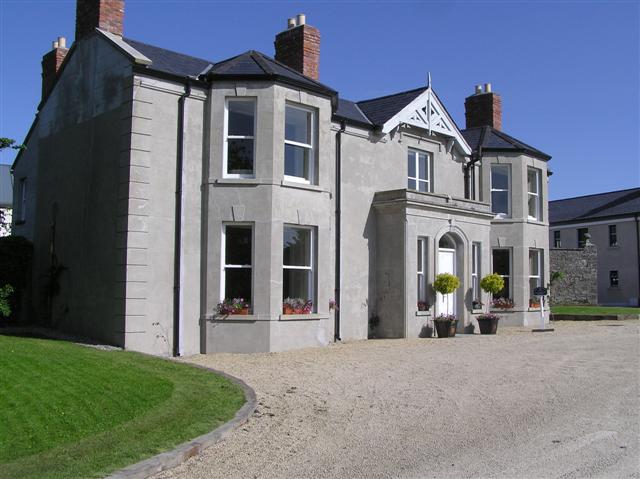 Castle Darganhouse · 37 yd
 Burnt spread in Carrigeenboy (tirerrill By., Collooney Ed)Burnt spread · 240 yd
 Enclosure in CastledarganEnclosure · 468 yd
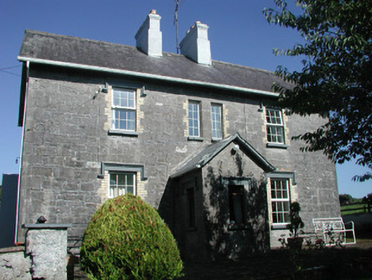 Doonamurray Househouse · 883 yd
 Castle (in Ruins)Castle, tower house · 1108 yd
 CastleCastle, motte · 1213 yd
 Giants GraveArchaeological place · 1.0 mi
 Union RockForest · 1.7 mi
 Field MapleField Maple · 1.8 mi
 Battle of Collooneybattle · 2.3 mi
 Teeling MonumentMemorial · 2.3 mi
 Aghamore BayBay · 3.0 mi