What is recorded here
In improved pasture on a low, natural rise in a low-lying landscape. Built into the interior of an enclosure (TS052-034001-) and abutting the E bank. A well-coursed rubble masonry structure, sub-rectangular in plan with a curvilinear rear. The opening (Wth 2.18m; D 2.0; H 2.07m) at E has a shallow vaulted ceiling with voussoir camber arch. Three lintelled recesses in the rear wall may be put-log holes. There is a brick kerb (H 0.75m; Wth 0.22m; D 0.1m) across the base of the opening. A plain-run moulded cornice forms the coping stones to E and short return to N and S sides. The remains of external render are evident. These and other architectural fragments (TS052-034003-) are possibly reused from the fortified house (TS052-034011-).
Compiled by: Jean Farrelly
Date of upload: 26 August 2011
The monument record does not grant public access. Check the route and ask the landowner before entering private land.
- What survives
- Recorded monument
Places near here
 Settlement desertedSettlement deserted, medieval · 108 yd
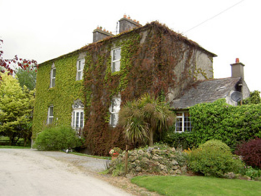 Forte Edwardcountry house · 148 yd
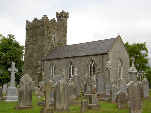 Saint John's Church (Ardmayle)church/chapel · 196 yd
 Grave YardGraveyard · 217 yd
 Ardmayle CastleCastle · 242 yd
 Castle in RuinsCastle, tower house · 263 yd
 Rock of CashelHeritage attraction · 3.4 mi
 Hore AbbeyHeritage attraction · 3.4 mi
 The Rock Of CashelVisitor information · 3.4 mi
 Black mulberryBlack mulberry · 3.6 mi
 European ashEuropean ash · 4.0 mi
 Ring HillMountain / peak · 7.4 mi