
What is recorded here
From the National Monuments Service (Archaeological Survey of Ireland) record CL025-234
Places near here
Photo credits
- Maker not stated on source page, en.wikipedia.org
- National Inventory of Architectural Heritage
- The Banner, Wikimedia Commons · CC BY-SA 4.0
- Maker not stated on source page, walkingholidayireland.com
- Maker not stated on source page, roaringwaterjournal.com
- Maker not stated on source page, www.pinterest.com
- Mike Searle, Wikimedia Commons · CC BY-SA 2.0
 Earthwork in Dromore (inchiquin By.)Earthwork · 647 yd
Explorer Tom Earthwork in Dromore has strong opinions about the road that leads to it, mostly that the road is too busy. It wants…
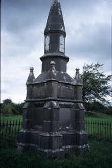 Kelly MausoleumMausoleum · 709 yd
Explorer Tom Kelly Mausoleum is from 1882 and has an octagonal shaft with a conical cap that looks like a giant pencil sharpener.…
 Fairy fort / stone ringfort in Moymore (inchiquin By.)Fairy fort / stone ringfort · 954 yd
Explorer Tom Fairy fort / stone ringfort in Moymore has a secret that it only tells after three pints of stout, which is that it’s…
 Church (in ruins)Church · 1019 yd
Explorer Tom Church in Portlecka hosted a dance so wild that the floorboards are still trying to recover from the damage today. It…
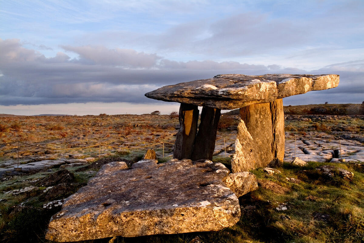 TombTomb, chest tomb · 1023 yd
Explorer Tom Tomb in Portlecka is missing its top and one side, looking like a box that got left out in the rain too long. The Casey…
 mausoleum1033 yd
Explorer Tom Mausoleum in Portlecka has the local sheep giving it two thumbs down because they think it blocks their view of the…
 Saint Mary's Catholic ChurchChurch/chapel · 1062 yd
Explorer Tom Saint Mary's Catholic Church in Ruan Commons is a 1910 cruciform church that looks like it’s ready to teach a very…
Fairy fort / stone ringfort in Aughrim (ross) (inchiquin By., Ennis Ed)Fairy fort / stone ringfort · 1102 ydExplorer Tom Fairy fort / stone ringfort in Aughrim is where the map makers got drunk and drew a circle that wasn’t there. It’s a…
 Megalithic tomb in Toormore (inchiquin By.)Megalithic tomb · 1225 yd
Explorer Tom Megalithic tomb in Toormore is the guy at the wedding who thinks he's the best man but nobody invited him. He’s got…
 Ruan GAA pitchGAA ground · 1502 yd
 Dromore Castle (in ruins)Castle, tower house · 1628 yd
Explorer Tom Dromore Castle used to be on an island, which sounds like a very expensive holiday home. Teige built it, probably while…
Dromore CastleCastle · 1632 ydExplorer Tom Dromore Castle would review its visitors as 'adequate' because they all stand by the nature reserve car park and take…
More archaeology and monuments in County Clare · All of County Clare

What do you know about this place?Tap to add a comment or ask a question