What is recorded here
Earthwork in Dromore (inchiquin By.) is a dished, flat-bottomed hollow at the west end of an east-west ridge in County Clare, marked as a rath on the 1840 Ordnance Survey map. Its shallow scarp rises no more than eighty centimetres at the western edge, yet the curve still shows through pasture and fence. Other ringforts lie within two hundred metres in three directions, suggesting this was not a lonely marker but one voice in a small cluster of enclosed places.
At the W end of an E-W ridge in pasture. Hachured only on the 1840 OS 6-inch map as a rath. Listed as ‘Enclosure’ in the SMR (1992) and the RMP (1996). On inspection in 1999 a dished and flat-bottomed hollow was noted (base 15.3m N-S, 12.3m E-W; top 28m E-W; 24m N-S) defined by a scarp (H 0.3m at E to 0.8m at W). with a post and wire fence crossing from SW-NE. The curve of a scarp SE-SW, S of the fence, can be made out on the OSi MapGenie orthophotography (2013-2018). Other ringforts (CL025-069001-, CL025-073----, CL025-076----) lie c. 200m to the W, S and E respectively.
Compiled by: Mary Tunney
Date of upload: 1 December 2025
The monument record does not grant public access. Check the route and ask the landowner before entering private land.
- What survives
- Recorded monument
Places near here
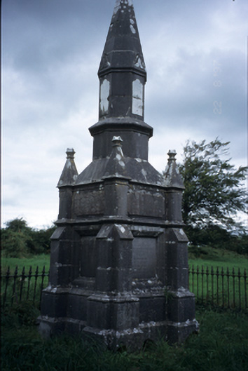 Kelly Mausoleummausoleum · 99 yd
 Wall monument in PortleckaWall monument · 463 yd
 Portlecka Castle (in Ruins)Castle, tower house · 754 yd
 LisheennamuddaghFairy fort / earthen ringfort · 821 yd
 Enclosure in Dromore (inchiquin By.)Enclosure · 943 yd
 Dromore WoodWood · 1550 yd
 Dromore CastleCastle · 1616 yd
 Battle of TullyodeaBattlefield · 1.3 mi
 Ballygriffy WoodWood · 1.6 mi
 Mulkere MemorialMemorial · 3.8 mi
 Rock IslandIsland · 4.4 mi
 Inchiquin IslandIslet · 4.5 mi