What is recorded here
Situated on the summit of a NE-SW drumlin ridge. It is depicted as a large embanked enclosure and described in gothic lettering as a ‘fort’ on the 1834 edition of the OS 6-inch map and as a large subcircular enclosure on the 1907 edition. This is a circular grass-covered area (diam. 103m NW-SE; 100m NE-SW) that slopes down slightly from the centre to the W, N and E, which is defined by traces of a scarped embankment which has been incorporated in a field bank and hedge, except NNW-E where it is reduced to a low scarp (at NE: Wth 3m; H 0.3m). There is no identifiable fosse or entrance, and it is possibly a landscape feature.
The enclosure is large enough to be considered a hilltop enclosure, but it is 1.9k m SSE of the SW tip of a large landscape design known as ‘the Thistle’ (TY060-042), just W of Aughancloy village, for which see this page of the Northern Ireland SMR database accessed on 23/06/2017: http://appsc.doeni.gov.uk/ambit/Details.aspx?MonID=14768 The Thistle was designed after 1722 by Acheson Moore, a jacobite, as a symbol of his political sympathies. Three other hilltop enclosures in Co. Monaghan are between 1 and 2 km from the SW tip of the Thistle, and together with four other large enclosures in Co. Tyrone could have been designed to enhance the Thistle as outlying rosettes. The equally large enclosure at Skinnahergna (MO003-050----) is c. 950m to the W
The above description is derived from the published 'Archaeological Inventory of County Monaghan' (Dublin: Stationery Office, 1986). In certain instances the entries have been revised and updated in the light of recent research.
Revised by: Michael Moore
Date of revision: 17 July 2017
The monument record does not grant public access. Check the route and ask the landowner before entering private land.
- What survives
- Recorded monument
Places near here
 St. Muadain's WellSpring · 861 yd
 Fairy fort / earthen ringfort in AghaderryFairy fort / earthen ringfort · 875 yd
 Old ChChurch · 940 yd
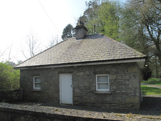 gate lodgegate lodge · 1032 yd
 Fairy fort / earthen ringfort in AghadrumcruFairy fort / earthen ringfort · 1746 yd
 RAVELLA CASTLE:HOUSE AND BAWN in RavellaRAVELLA CASTLE:HOUSE AND BAWN · 1.7 mi
 Derrygorry WoodForest · 2.8 mi
 Lismore WoodWood · 2.8 mi
 MEDIEVAL CHURCH & GRAVEYARD: AGHALOO CHURCH in RouskyMEDIEVAL CHURCH & GRAVEYARD: AGHALOO CHURCH · 3.1 mi
 Coolberrin HillMountain / peak · 3.3 mi
 MEDIEVAL PARISH CHURCH; GRAVEYARD also SITE OF C13th BATTLE: CARNTEEL CHURCH in CarnteelMEDIEVAL PARISH CHURCH; GRAVEYARD also SITE OF C13th BATTLE: CARNTEEL CHURCH · 3.6 mi
 Emyvale Heritage TrailVisitor information · 3.9 mi