What is recorded here
In reclaimed pasture, on the demesne lands of Kilballyowen House 420m to ENE. Not depicted on OSi historic maps. Monument identified by the Bruff aerial photographic survey in 1986 (Bruff 242: AP 5/2055) as a well-defined linear-shaped cropmark which appears to extend from the pleasure grounds of Kilballyowen House, at SW, towards the W boundary of the demesne. These grounds to W of the house are depicted on the 1840 ed. OS 6-inch map as a maze of pathways. Monument is visible a well-defined linear-shaped cropmark (min. L 220m; Wth 22m) which appears to be extending from a wet patch of ground on OSi orthoimage taken 2005-2012, on Digital Globe orthoimage taken 2011-2013, and on Google Earth orthoimages taken 29/03/2012, 16/03/2016 and 20/09/2020. The location of this anomaly, its large width and its well-defined nature, may suggest that it is more likely to be a designed landscape feature associated with Kilballyowen House.
See attached Google Earth orthoimages taken 29/03/2012, 16/03/2016 and 20/09/2020 and Bruff aerial survey image labelled 242
Compiled by: Alison McQueen and Vera Rahilly
Date of upload: 16 November 2020
The monument record does not grant public access. Check the route and ask the landowner before entering private land.
- What survives
- Recorded monument
Places near here
 Kilballyowen HouseCastle, unclassified · 435 yd
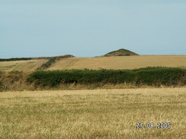 Burial mound in BaggotstownBurial mound · 1045 yd
 Ballyvulhane Bridgebridge · 1161 yd
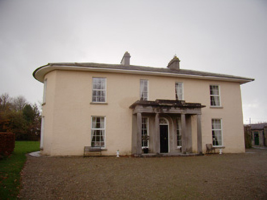 Milltown Parkcountry house · 1294 yd
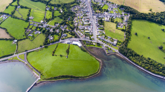 Field system in KilballyowenField system · 1463 yd
 Glen BogForest · 1752 yd
 Ballygrennan Castle (in ruins)Castle, tower house · 1.4 mi
 KnockainyMountain / peak · 1.6 mi
 Flat cemetery in Knockainy WestFlat cemetery · 2.5 mi
 Kilteely HillMountain / peak · 5.5 mi
 St Patrick's WellSpring · 5.7 mi
 St. Patrick's WellSpring · 5.8 mi