What is recorded here
In level pasture at base of W facing slope on the demesne lands of Elm Park House located 80m to NNE. No surface remains visible. This is the most northerly of three enclosures (LI012-049-/050----) forming a line running NW-SE for a distance of c. 293m. The two enclosures (LI012-049-/050----) lie 92m and 270m to SE respectively. Monument indicated on the 1897 OS 25-inch map as a circular-shaped sunken area (approx. ext. diam. 21m) defined by a ditch (approx. Wth 6m) with tree in centre of earthwork. Outline of depression visible on Google Earth orthoimage taken 06/02/2018 which has been incorporated into a field boundary at N. Location of earthwork on the demesne of Elm Park House suggests that this earthwork is a designed landscape feature.
Compiled by: Fiona Rooney
Date of upload: 18 June 2020
The monument record does not grant public access. Check the route and ask the landowner before entering private land.
- What survives
- Recorded monument
Places near here
 BarrowBarrow, unclassified · 412 yd
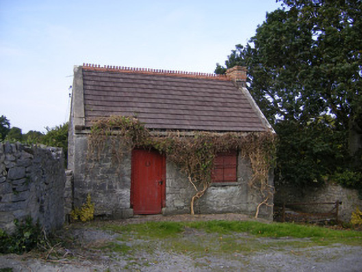 The Forgeforge/smithy · 921 yd
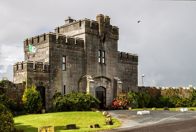 Elm Park Housegate lodge · 950 yd
 Meelick Ho.House, fortified house · 1512 yd
 Grave YardGraveyard · 1674 yd
 Site of CastleCastle, unclassified · 1.2 mi
 St James's WellSpring · 1.8 mi
 Sailors HaggardMemorial · 2.7 mi
 Grass IslandIslet · 4.5 mi
 Maiden RockNamed rock · 4.8 mi
 Mellon PointHeadland · 5.3 mi
 King's IslandIsland · 5.7 mi