What is recorded here
There is feature named 'Monument' (not in antiquarian typeface) on the 1837 ed. of the OS 6-inch map located beside a garden pathway within the demesne of Edgeworthstown House. It is not indicated on the OS 25-inch plan (1911) and was removed by that time. There is no visible trace of this 'Monument' and its precise nature is uncertain. More than likely it was an ornamental feature associated with the 18th-century Edgeworthstown House.
Compiled by: Paul Walsh
Date of upload: 26 August 2011
This remains an important historical record, but the official description says the monument is no longer visible or has been destroyed. The monument record does not grant public access. Check the route and ask the landowner before entering private land.
- What survives
- No visible remains or recorded as destroyed
Places near here
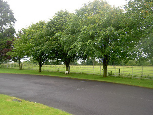 Edgeworthstown Housegates/railings/walls · 23 yd
 Edgeworthstown Ho.House, 17th century · 76 yd
 Edgeworthstown BypassMemorial · 268 yd
 Burnt spread in TinnynarrBurnt spread · 1151 yd
 MoatawardCastle, motte and bailey · 1249 yd
 St. Barrys WellHoly well · 1250 yd
 MoatCastle, motte · 1.9 mi
 Oldtown DemesneForest · 3.6 mi
 Oldtown CopseWood · 3.6 mi
 Clonfin Ambush MemorialMemorial · 4.8 mi
 Granard MotteMotte-and-bailey castle remains · 7.1 mi
 1798 Monumentmonument · 7.2 mi