What is recorded here
Hachuring shown on the 1929 revision of the OS 6-inch map to the E and S of Coorheen House indicates a series of terraces which relate to 19th-century landscaping. Incorrectly classified as Enclosure in the RMP (1997).
Compiled by: Olive Alcock
Date of upload: 2019
The monument record does not grant public access. Check the route and ask the landowner before entering private land.
- What survives
- Recorded monument
Places near here
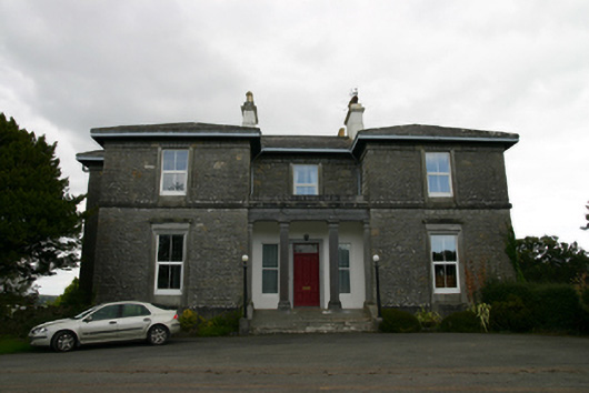 Coorheen Housecountry house · 19 yd
 Ash IslandIslet · 611 yd
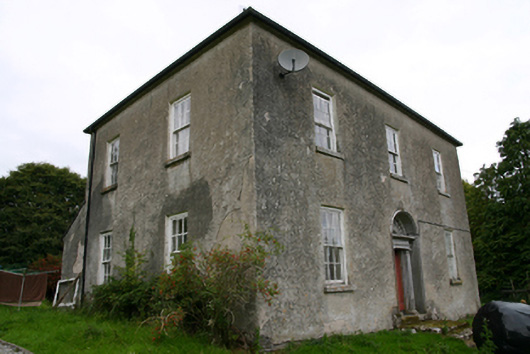 Glenvillecountry house · 775 yd
 Blake's IslandIslet · 1107 yd
 Enclosure in Grange (loughrea By.)Enclosure · 1547 yd
 LisnarahaFairy fort / stone ringfort · 1670 yd
 Long PointHeadland · 1.2 mi
 Site of Cloonoo CastleCastle, unclassified · 1.6 mi
 Site of CastleCastle, unclassified · 1.7 mi
 Scalpeen RockNamed rock · 4.4 mi
 Turoe StoneHeritage attraction · 4.8 mi
 Dartfield Horse MuseumHeritage attraction · 5.4 mi