What is recorded here
On a WNW-facing slope in an area with other designed landscape features (WI021-031----, WI021-084----). Listed in the SMR (1986) as ‘Enclosure – square’ this is a square, sunken, marshy area (80m x 80m) with three wide terraces cut into the natural slope immediately to the E. These may have been shooting platforms. A raised area in the SW quadrant of the square may have been a small island. Castleruddery embanked stone circle (WI021-032----) lies c. 100m to the S. (CUCAP, BDR 39)
Compiled by: Mary Tunney
Date of upload: 5 December 2012
The monument record does not grant public access. Check the route and ask the landowner before entering private land.
- What survives
- Recorded monument
Places near here
 Druidical CircleStone circle, embanked · 242 yd
 Enclosure in Castleruddery LowerEnclosure · 266 yd
 Castleruddery MotteArchaeological place · 547 yd
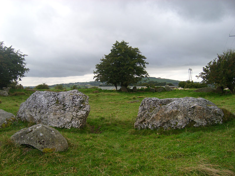 CastleCastle, motte · 653 yd
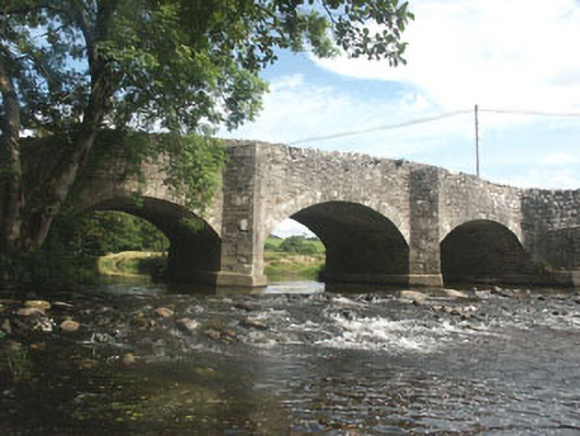 Ballyhubbock Bridgebridge · 795 yd
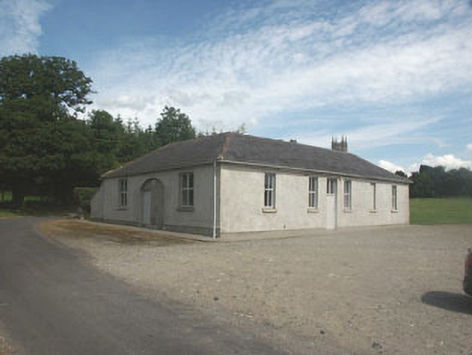 Donaghmore National Schoolschool · 805 yd
 English hollyEnglish holly · 1044 yd
 Ballyhook HillMountain / peak · 2.1 mi
 Pedunculate OakPedunculate Oak · 2.5 mi
 Saint Brigit's ChairNamed rock · 2.8 mi
 Saint Brigit's Mass StoneNamed rock · 2.9 mi
 Sam McAllistair GraveMemorial · 3.3 mi