What is recorded here
On level to gently sloping ground at the E foot of a small steep rise. A roughly rectangular area ( c. 60m x 12m) defined by a low bank (H 0.3m) with an external ditch. The SE end of the feature is unenclosed and abutts onto a small circular pond (diam. c. 12m).
In 2002 five trenches were excavated 'in the constraint area' of this monument but nothing of archaeological significance was noted (Molloy 2004, 532)
Compiled by: Matt Kelleher and Claire Breen
Date of revision: 18 January 2013
The monument record does not grant public access. Check the route and ask the landowner before entering private land.
- What survives
- Recorded monument
Places near here
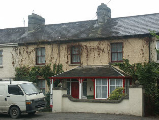 Mountain View Househouse · 251 yd
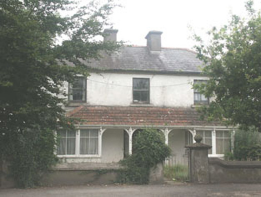 Quidarahouse · 256 yd
 The Square RenewalMemorial · 402 yd
 Dame Ninette de ValoisMemorial · 440 yd
 IndicatedEnclosure · 589 yd
 Blessington DemesneWood · 676 yd
 ToberanbrickHoly well · 701 yd
 Deer Park PlantationForest · 1502 yd
 Castle (in ruins)Castle, tower house · 1.5 mi
 CastleCastle, tower house · 1.9 mi
 Artisans WorkshopsHeritage attraction · 2.8 mi
 National Bird of Prey CentreHeritage attraction · 2.8 mi