What is recorded here
Low earthworks in field to W and NW of Ballymoon Castle (CW016-055001-) which are visible on OSI aerial photographs may be the remains of a deserted medieval settlement or form part of the designed landscape associated with the Anglo-Norman castle. The earthworks visible on aerial photographs appear to form small enclosures or fields located to the W of a medieval road running N-S towards the entrance gate of Ballymoon Castle. There are no clear house sites visible on the aerial photographs and the earthworks appear to form small fields rather than a classic series of houses located to the W of this roadway. According to McNeill these earthworks represent the remains of a 'quite extensive village or small town' (McNeill 1997, 110). O’Keeffe (2001, 172) however argues that these ‘earthworks have neither the regularity nor the requisite house-plots and property boundaries to support such an identification’, he goes on to suggest that the earthworks ‘constitute a form of landscape architecture, with banks and platforms which guide the choreography of movement to and from the castle, thereby enhancing its visual magnificence’. A series of earthworks located in the adjoining field to the N of the castle some of which may be medieval and others which are probably related to post-medieval drainage. In this field are the remains of an Anglo-Norman moated site (CW016-054001-). The earthworks in the fields were not visible at time of inspection as the grass in the field was very high.
Compiled by: Claire Breen
Revised by: Caimin O'Brien
Date of revised upload: 13 August 2015
The monument record does not grant public access. Check the route and ask the landowner before entering private land.
- What survives
- Recorded monument
Places near here
 Ballymoon Castle (in ruins)Castle, Anglo-Norman masonry castle · 109 yd
 Enclosure in BallywilliamroeEnclosure · 415 yd
 Enclosure in BallymoonEnclosure · 611 yd
 Wych ElmWych Elm · 1.1 mi
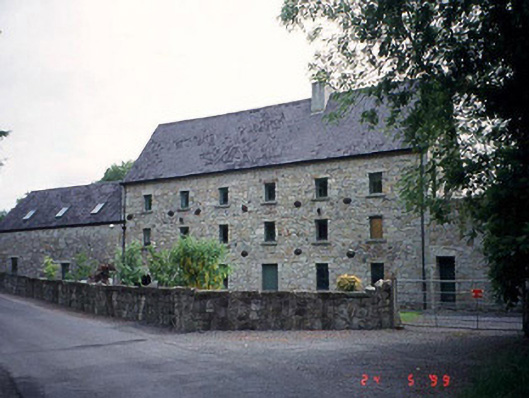 mill (water)mill (water) · 1.2 mi
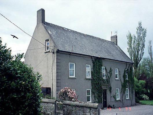 farm housefarm house · 1.2 mi
 Carrig WoodWood · 1.4 mi
 CastleCastle, motte · 1.5 mi
 The Columban WayVisitor information · 2.0 mi
 Lock Keeper's House and Lodge MillsVisitor information · 2.5 mi
 Church (in ruins), GraveyardChurch · 3.5 mi
 Church, GraveyardChurch · 3.8 mi