
What is recorded here
This monument stands on a slight E-W-aligned ridge, on which there is outcropping rock, in rolling pasture c. 7.5km NE of Ballyshannon. There is a good outlook from the site. The tomb consists of three stones, two beside each other, and the third 1.5m N of and opposite the eastern of the other two. There is a poorly…
Read the whole record
From the National Monuments Service (Archaeological Survey of Ireland) record DG104-010
Places near here
Photo credits
- National Inventory of Architectural Heritage
- Maker not stated on source page, tr.pinterest.com
- Maker not stated on source page, www.ireland.com
- Didier Descouens, Wikimedia Commons · CC BY-SA 4.0
- Kmcnamee, Wikimedia Commons · CC BY-SA 4.0
- Tawg, Wikimedia Commons · CC BY-SA 3.0
- Kenneth Allen, Geograph · CC BY-SA 2.0
- eireialcreations / Dronestagr.am; Eireial Creations watermark on photograph, www.dronestagr.am
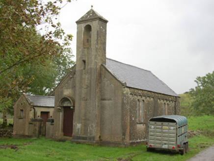 Carricknahorna Orange HallOrange Hall · 423 yd
Explorer Tom Carricknahorna Orange Hall has a plaque where someone carved 'Parochial' right over the word 'Orange'. It looks like a…
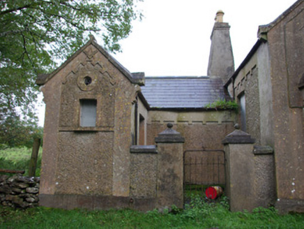 Carricknahorna Masonic HallOrange Hall, masonic lodge/hall · 426 yd
Explorer Tom Carricknahorna Masonic Hall makes its purpose hard to miss: a square and compass stand out on the front gable. Its date…
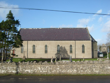 Immaculate Heart of Mary Catholic ChurchChurch/chapel · 1035 yd
Explorer Tom Immaculate Heart of Mary Catholic Church has wrought-iron cross finials on its gables. I bet they look incredibly…
 Carricknahorna Ridge Fairy FortFairy fort / earthen ringfort · 1408 yd
Explorer Tom Carricknahorna Ridge Fairy Fort is basically a ghost of a bank on a ridge with killer views. The ditch Davies recorded?…
 Enclosure in Tober (cavangarden Ed)Enclosure · 1599 yd
Explorer Tom Enclosure in Tober is a roughly circular stony area about twenty-four metres wide, defined by barely discernible wall…
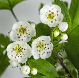 Hawthorn1.7 mi
Explorer Tom Hawthorn in County Donegal made a New Year's resolution to grow more thorns but ended up growing way too many and now…
 Páirc na hEirne, Erne Gaels, BelleekGAA ground · 3.5 mi
 Battle of BelleekBattle · 3.7 mi
Explorer Tom Battle of Belleek, also called the Battle of the Erne Fords, took place at a River Erne crossing near Belleek on 10…
 Dicey Reilly’sPub · 4.3 mi
Explorer Tom Dicey Reilly’s is on Market Street, so expect a crowd that knows exactly which side of the argument they're winning.…
 Max BarPub · 4.3 mi
Explorer Tom Max Bar is also on Market Street, right next door to other pubs, suggesting a fierce rivalry over who has the best…
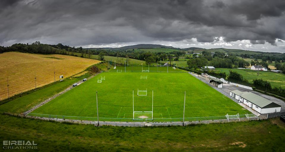 Páirc Naomh Bríd, Naomh Brd GAA, Ballintra/LagheyGAA ground · 4.4 mi
 MurvaghOfficial bathing water · 5.5 mi
Explorer Tom Murvagh is the Donegal beach that seems to have brought a whole forest along for company. You cross toward the dunes…
More archaeology and monuments in County Donegal · All of County Donegal

What do you know about this place?Tap to add a comment or ask a question