What is recorded here
Although not indicated on the 1st. ed. (1838) of the OS 6-inch map, a large, square enclosure (est. ext. dims. L c. 105m; Wth c. 105m) is shown on the 1939 OS 6-inch map revision defined by a broad bank which widens internally at the centre of each side. By 1972, the site had been levelled and bulldozing operations were noted in the area (SMR file). In well-drained, improved pasture. A shallow (D0.4-0.6m), rectangular hollow survives, and is know locally as 'the decoy'. (CUCAP BGH 70, 71).
Compiled by: Gearóid Conroy
Date of upload: 13 October 2011
The monument record does not grant public access. Check the route and ask the landowner before entering private land.
- What survives
- Recorded monument
Places near here
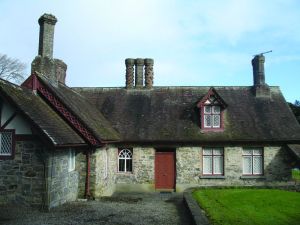 Enclosure in Coolsickin OR QuinsboroughEnclosure · 285 yd
 Enclosure in Ummeras BegEnclosure · 1227 yd
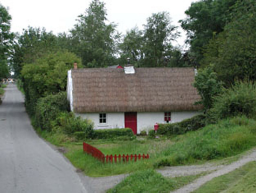 Small Wonderhouse · 1531 yd
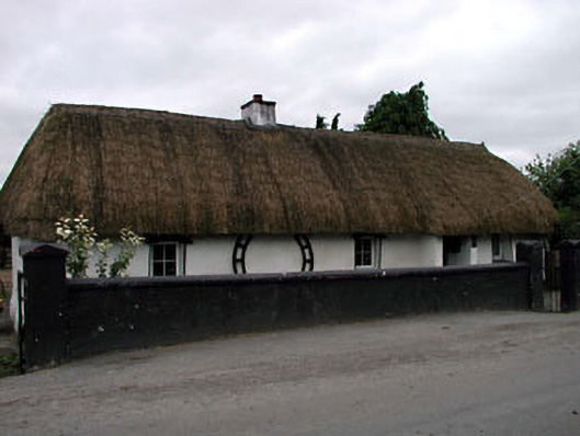 Canal Cottagehouse · 1538 yd
 Lodge GroveWood · 2.7 mi
 Offaly CastleCastle, tower house · 2.9 mi
 European YewEuropean Yew · 2.9 mi
 Bawn in Lackagh BegBawn · 2.9 mi
 Bithia Mary CrokerMemorial · 4.0 mi
 Church (in Ruins), GraveyardChurch · 5.1 mi
 Bog Lake WalkWalking route · 5.4 mi
 Derryounce Walk (Yellow Loop)Walking route · 5.4 mi