What is recorded here
Situated c. 300m S of Annfield House and likely to be associated with it. Visible on the 1st ed. and current ed. OS 6-inch maps as a circular pond, c. 65m in diameter with an island in the centre with two projections to the E and W. A circular landscape feature (KK034-053----) lies c. 200m to the W.
Compiled by: Mary Tunney
Date of upload: 31 January 2012
The monument record does not grant public access. Check the route and ask the landowner before entering private land.
- What survives
- Recorded monument
Places near here
 Penal Mass station in BallynacronnyPenal Mass station · 561 yd
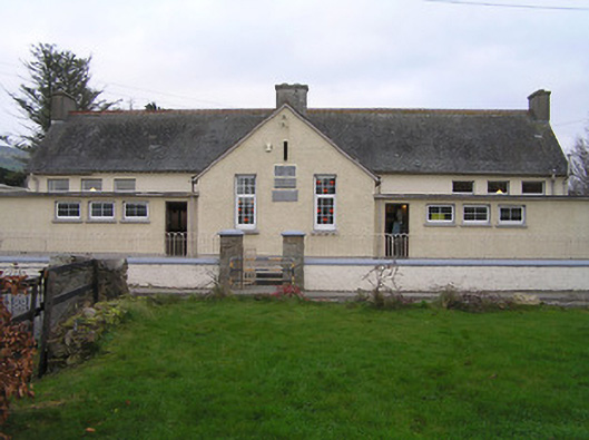 Owning Convent National Schoolschool · 1085 yd
 European YewEuropean Yew · 1179 yd
 CastleCastle, unclassified · 1266 yd
 Owning Portal TombArchaeological place · 1271 yd
 Druids AltarPortal tomb · 1273 yd
 Burns WoodForest · 1277 yd
 Kilmacoliver HillMountain / peak · 1.0 mi
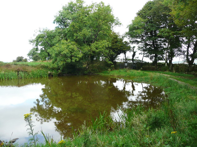 Dwyer Homestead and Pond, BregaunVisitor information · 1.1 mi
 Kilkieran CrossesHeritage attraction · 1.1 mi
 Woodland LoopWalking route · 1.6 mi
 Irish Republic 1916-2016Memorial · 1.9 mi