What is recorded here
Forestry trails with gradual inclines.
A mapped walking route does not guarantee present access or safe conditions. Check signs, closures and the weather before setting out.
- Distance
- 11 km
Places near here
 Polney CragCliff · 189 yd
 King's SeatFort (early Medieval), Hearth(s) (early Medieval) (550)-(645), Crucible(s) (early Medieval), Crucible(s) (early Medieval), Mould(s) (stone)(early Medieval) · 347 yd
 Dunkeld ParkPit Alignment (prehistoric) · 675 yd
 Craig A BarnsNatural Feature (period Unknown), Rocking Stone (period Unassigned) · 686 yd
 The Rocking StoneMountain / peak · 703 yd
 Dunkeld, Dunkeld House, West GrottoGrotto (garden) (post Medieval) · 754 yd
 Lady Charlotte's CaveCave · 1018 yd
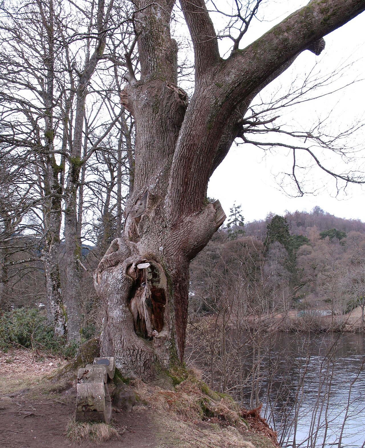 Niel Gow's OakOak · 1042 yd
 Pine Cone PointViewpoint · 1298 yd
 Battle of DunkeldMajor battlefield · 1425 yd
 The Parent LarchEuropean Larch · 1519 yd
.jpg?width=1280) Cathedral GatesMemorial · 1676 yd
Cathedral GatesMemorial · 1676 yd