What is recorded here
Knockendrane holds a long stone ridge aligned directly across Slievebawn, pointing first at a summit cairn and then at Mount Leinster. The parallel banks still break the slope like a forgotten road, inviting people to imagine they carried offers, warnings or journeys between mountains.
On the NW slope of Slievebawn. A possible cursus (L c. 270m) identified on OSI aerial (2005 ed.) consisting of two parallel banks or grass/heather/turf-covered walls (Wth 2-2.6m; H 0.2-0.8m) composed of schist and quartz (pers. comm. Ivor Kenny, 10 July 2014). The lower portion of the monument runs NW-SE for c. 160m and is 31m wide, while the upper portion changes direction slightly, running NNW-SSE for c. 113m and is slightly narrower, 22m wide. The lower portion of the cursus is aligned with a circular cairn (CW020-016----) on the summit of the mountain. This cairn is c. 135m SE of the SE end of the monument. The upper portion of the cursus is aligned with a cairn (CW023-007----/WX008-001----) 3km to the SE on the summit of Mount Leinster, on the Carlow-Wexford border. There is another possible cursus (CW020-027----) c. 1.7km to the E-ESE in the townland of Coolasnaghta. The monument is similar to a possible cursus (WI027-089----) on Keadeen Mountain, Co. Wicklow and one on Brewel Hill (KD032-058----) in Co. Kildare. (Kenny 2014)
Compiled by: Jean Farrelly
Date of upload: 28 July 2014
The monument record does not grant public access. Check the route and ask the landowner before entering private land.
- What survives
- Recorded monument
Places near here
 SlievebawnMountain / peak · 243 yd
 Enclosure in KnockendraneEnclosure · 1758 yd
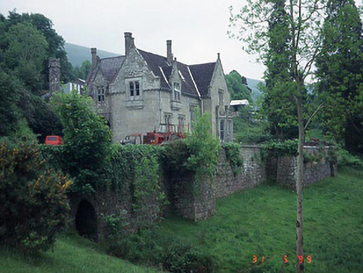 Mount Leinster Lodgecountry house · 1.1 mi
 Rathnageeragh Castle (in ruins)Castle, unclassified · 1.2 mi
 Enclosure in RaheenlieghEnclosure · 1.4 mi
 Saint Laserian's Catholic Churchchurch/chapel · 1.7 mi
 Irish Hangliding and Paragliding AssociationMemorial · 2.0 mi
 Mount LeinsterMountain · 2.1 mi
 CroaghaunMountain / peak · 2.5 mi
 Sessile OakSessile Oak · 2.9 mi
 CastleCastle, unclassified · 3.0 mi
 St Bridget's WellSpring · 3.1 mi