What is recorded here
Cursus in Coolasnaghta is a 400m stone channel hidden beneath blanket bog on the northern spur of Mount Leinster. Its two parallel banks run toward a summit cairn two kilometres away, suggesting a deliberate alignment across the mountain rather than a random boundary. The local name Witches' Slide adds a warning to the geometry, as if the path were made for hurried or unwanted travel.
On a steep mountain slope on the northern spur of Mount Leinster. A similar curus monument (CW020-026----) is located c. 1.7km to the W-WNW in Knockendrane townland. It consists of two parallel banks (Wth c. 2m; H c. 0.4m), 33m apart, aligned NNW-SSE, which is visible over 400m (Corlett 2014, 21). The banks are obscured by blanket bog, but are likely to be constructed of stone (ibid.). The monument, which appears to end short of the summit, is known locally as the Witches' Slide (ibid.). The southern portion of the cursus appears to be aligned with a cairn (CW023-007----/WX008-001----) 2km to the SSE on the summit of Mount Leinster, on the Carlow-Wexford border. There are also two other possible cursus monuments, (WI027-089---- and KD) on Keadeen Mountain, Co. Wicklow and on Brewel Hill (KD032-058----) in Co. Kildare respectively.
Compiled by: Jean Farrelly
Date of upload: 28 July 2014
The monument record does not grant public access. Check the route and ask the landowner before entering private land.
- What survives
- Recorded monument
Places near here
 Enclosure in RaheenlieghEnclosure · 776 yd
 SlievebawnMountain / peak · 1709 yd
 Irish Hangliding and Paragliding AssociationMemorial · 1.4 mi
 Mount LeinsterMountain · 1.5 mi
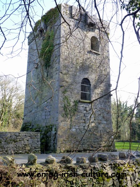 Enclosure in RaheendarraghEnclosure · 1.5 mi
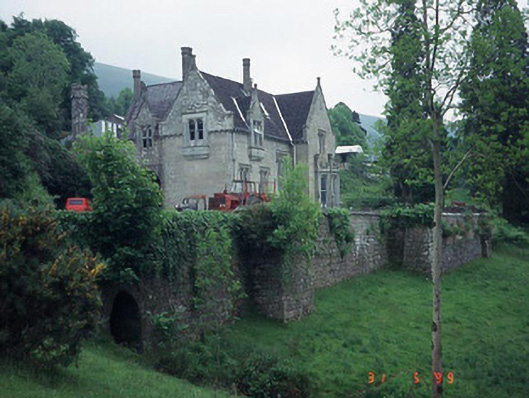 Mount Leinster Lodgecountry house · 1.6 mi
 Moats of CraanMountain / peak · 1.8 mi
 Rathnageeragh Castle (in ruins)Castle, unclassified · 2.0 mi
 St Bridget's WellSpring · 2.1 mi
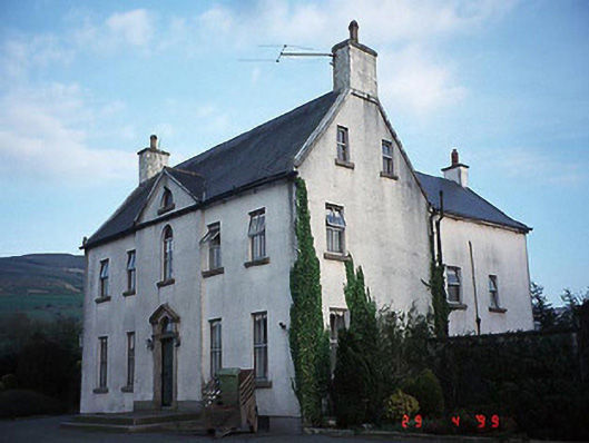 Hollybrook Househouse · 2.4 mi
 SycamoreSycamore · 3.1 mi
 Monkey-puzzleMonkey-puzzle · 3.2 mi