
What is recorded here
From the National Monuments Service (Archaeological Survey of Ireland) record GA071-025
Places near here
Photo credits
- Maker not stated on source page, www.alamy.com
- Maker not stated on source page, www.dreamstime.com
- Maker not stated on source page, www.pinterest.com
- National Inventory of Architectural Heritage
- Kmcnamee, Wikimedia Commons · CC BY-SA 4.0
- Maker not stated on source page, www.visitgalway.ie
- Maker not stated on source page, www.myhome.ie
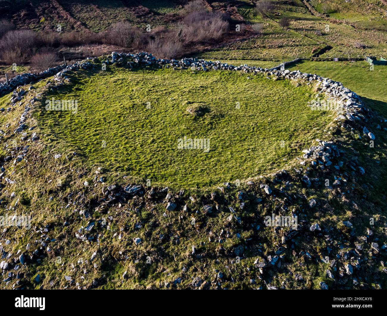 Fairy fort / ringfort in TisaxonFairy fort / ringfort · 1092 yd
Explorer Tom Fairy fort in Tisaxon is collapsing into itself like a sad balloon losing air. The bank is grassed over and looking…
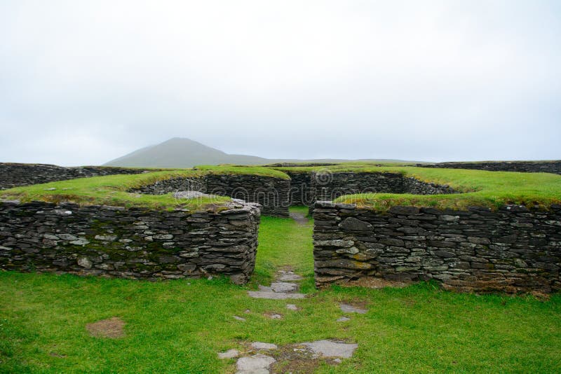 Fairy fort / ringfort in Nurserypark or CorrabaunFairy fort / ringfort · 1.2 mi
Explorer Tom Fairy fort / ringfort in Nurserypark Or Corrabaun is oval, not round, which is a bit of a flex. It’s on a rise and…
 Fairy fort / stone ringfort in MontpelierFairy fort / stone ringfort · 1.4 mi
Explorer Tom Fairy fort / stone ringfort in Montpelier has a local superstition that if you drop a stone in the gap, your luck…
 Mapped graveyardGraveyard · 1.4 mi
Explorer Tom This mapped graveyard in County Galway gets bad reviews from the seagulls, who say it smells like old fish and regret.…
 Licklea BridgeBridge · 1.6 mi
Explorer Tom Licklea Bridge in Cormacuagh is still busy, but I bet its favourite potato is a spud with an attitude. It carries…
 Mapped cemeteryCemetery · 1.7 mi
Explorer Tom This mapped cemetery has an imaginary fan club called 'The Moss Lovers' who send it postcards every winter. They think…
 Monivea Garda Síochána StationRectory/glebe/vicarage/curate's house · 1.7 mi
Explorer Tom Monivea Garda Station is haunted by the ghost of a hero who saved it from a fire using only a fire extinguisher and…
 Monivea - Abbeyknockmoy GAAGAA ground · 2.0 mi
 Monivea WoodsForest · 2.1 mi
Explorer Tom Monivea Woods is having a massive feud with Blackrock Castle over who has the better view, and it’s getting ugly with…
Raheen Pitch, St. Mary's GAA, AthenryGAA ground · 3.8 mi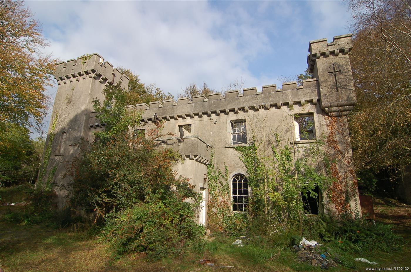 Laragh Castle in ruinsCastle, unclassified · 4.4 mi
Explorer Tom Laragh Castle in Laragh is basically a rumor with a boggy address. Shane O'Daly owned it, but by 1839 it was just a…
 Garbally CastleRuins · 4.8 mi
Explorer Tom Garbally Castle in County Galway is basically a stone eavesdropper, listening to every whisper the wind sends its way…
More archaeology and monuments in County Galway · All of County Galway

What do you know about this place?Tap to add a comment or ask a question