What is recorded here
In pasture, on a rocky E-W ridge with a thin cover of soil. A stone slab (2.25m N-S; 1.7m E-W; T 0.38m) rests on a smaller stone underneath, raising its E end (H 0.8m) and causing its NW corner to rest on the bedrock. On the N side of the upper sloping surface of the slab are two cupmarks (diam. 0.07m; D 0.035m and diam. 0.03m; D 0.02m, respectively). A separate roughly square stone (c. 0.5m x c. 0.45m) lies on the ground to NE.
The above description is derived from 'The Archaeological Inventory of County Cork. Volume 5' (Dublin: Stationery Office, 2009).
Date of upload: 22 December 2009
Likely dating to the Neolithic or Bronze Age, the cupmarked stone may have had ritual or ceremonial significance, possibly linked to water or fertility symbolism. Such stones are often associated with wider ritual landscapes, though local folklore or specific use remains unrecorded.
The monument record does not grant public access. Check the route and ask the landowner before entering private land.
- What survives
- Recorded monument
Places near here
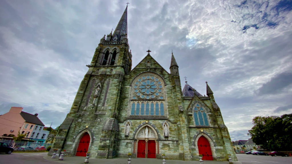 Kilcarriel Church (in Ruins)Church · 793 yd
 Fulacht FianFulacht fia · 1194 yd
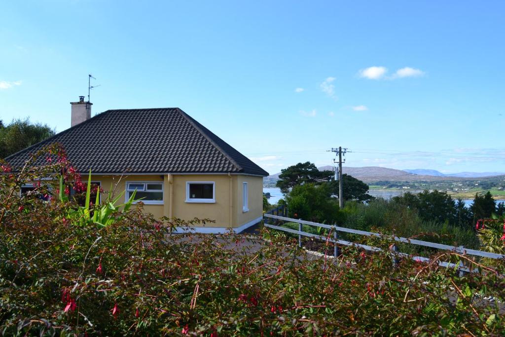 Enclosure in Dunmanus EastEnclosure · 1670 yd
 Castle (Site of)Castle, unclassified · 1.3 mi
 Dunmanus Castle (in Ruins)Castle, tower house · 1.4 mi
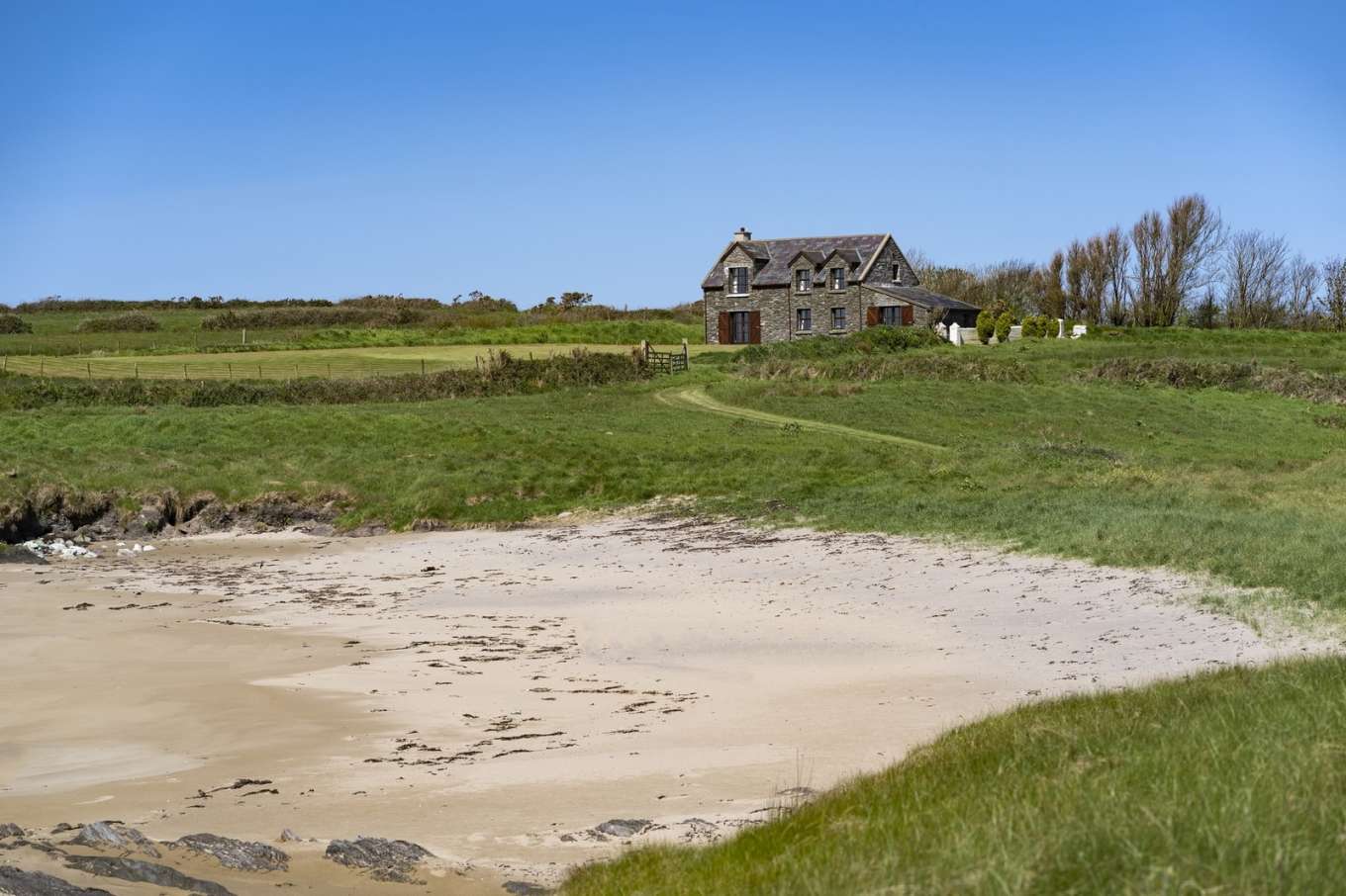 Horse IslandIslet · 1.4 mi
 Toormore Bridgebridge · 1.5 mi
 Dunmanus PointHeadland · 1.5 mi
 AltarViewpoint · 1.9 mi
 Cold IslandIslet · 2.0 mi
 Ballyrisode WoodWood · 2.5 mi
 Dunmanus BayBay · 2.6 mi