What is recorded here
Situated on flat, low-lying ground c. 150m from the S shore of Lough Melvin and within the graveyard (LE005-003002-) of Rossinver church. A stone (Wth 0.5m; H 0.29m-0.33m plus; T 0.09m) with two cup-marks is re-used as a headstone. (Weir 1980, 173-4)
See the attached image:
Compiled by: Michael Moore
Date of revised upload: 3 July, 2017
The monument record does not grant public access. Check the route and ask the landowner before entering private land.
- What survives
- Recorded monument
Places near here
 Not indicateedHoly well · 195 yd
 Ross PointHeadland · 819 yd
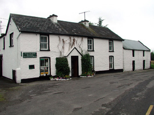 Rossinver Post Officehouse · 1247 yd
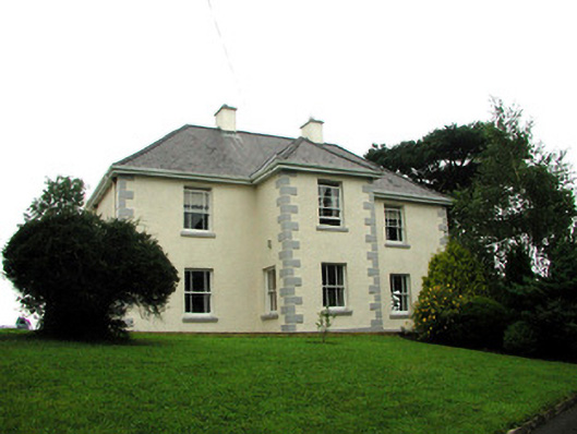 presbytery/parochial/curate's housepresbytery/parochial/curate's house · 1353 yd
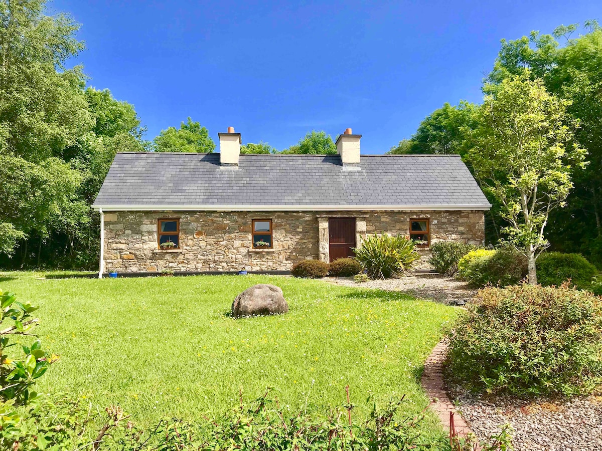 IndicatedFairy fort / ringfort · 1518 yd
 Giant's GraveArchaeological place · 1.0 mi
 Fowley's FallsPicnic place · 1.3 mi
 Sally IslandIslet · 2.0 mi
 Bilberry IslandIslet · 2.0 mi
 Saddle HillMountain / peak · 3.3 mi
 Conwal NorthMountain / peak · 3.4 mi
 Kilroosk RockNamed rock · 4.6 mi