What is recorded here
No visible chamber or clear function appears in the available information. The measure alone does not say whether the site is a hole, a cache, a well or a forgotten room. The chamber may still exist beneath soil, rock or a changed floor. The missing chamber should be recoverable because the measure already records the shape of the absent chamber.
In a rough pasture area on the N side of a seawater pool, on the SW side of Castle Island in Lough Hyne. A single cupmark (diam. 0.09m; D 0.03m) is visible on the upper surface of outcropping rock. A megalithic structure (CO150-079002-) is c. 20m to the W and a possible earthwork (CO150-079003-) is c. 30m to the SW.
The above description is derived from 'The Archaeological Inventory of County Cork. Volume 5' (Dublin: Stationery Office, 2009).
Date of upload: 22 December 2009
The monument record does not grant public access. Check the route and ask the landowner before entering private land.
- What survives
- Recorded monument
Places near here
 ClochánCastle · 161 yd
 Templebreedy (in Ruins)Church · 444 yd
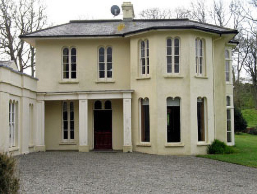 Lough Ine Househunting/fishing lodge · 553 yd
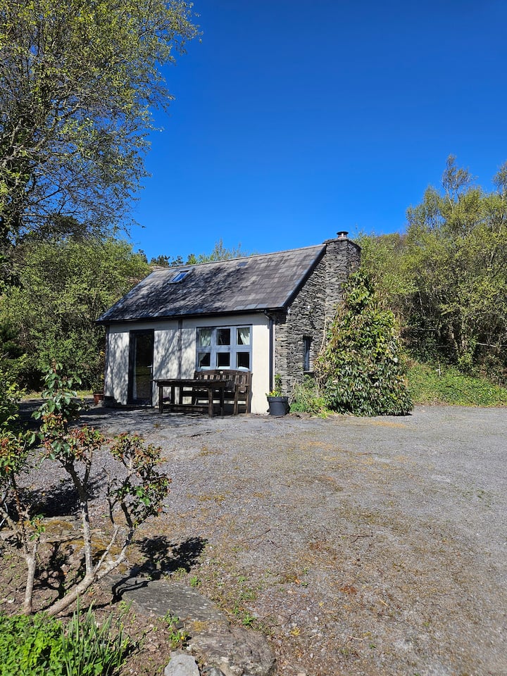 Hut site in GlannafeenHut site · 583 yd
 Wild Atlantic Way:Lough HyneVisitor information · 588 yd
 Kill Burial Gd (Childrens)Burial ground · 619 yd
 Walk 5 - Lough Hyne (7km)Walking route · 708 yd
 Bullock IslandIslet · 1212 yd
 Trá na BóBeach / strand · 1230 yd
 KnockomaghMountain / peak · 1330 yd
 TralispeanBeach / strand · 1741 yd
 Castle (in Ruins)Castle, unclassified · 1.2 mi