What is recorded here
On the W side of a road on a S-facing slope. At least seven cupmarks (max. diam. 0.1m; max. D 0.04m) are visible, mainly on the upper half of the E face of a vertical stone slab (L 1.1m; H 0.9m; T 0.1m) that is built into a roadside field boundary. The slab is obscured by briars.
The above description is derived from 'The Archaeological Inventory of County Cork. Volume 5' (Dublin: Stationery Office, 2009).
Date of upload: 22 December 2009
Likely dating to the Neolithic or Bronze Age, the cupmarked stone may have had ritual or ceremonial significance, possibly linked to water or fertility symbolism. Such stones are often associated with wider ritual landscapes, though local folklore or specific use remains unrecorded.
The monument record does not grant public access. Check the route and ask the landowner before entering private land.
- What survives
- Recorded monument
Places near here
 Burial ground in Carrigacat AND MilleenBurial ground · 621 yd
 IndicatedEnclosure · 814 yd
 KnockboyMountain / peak · 1328 yd
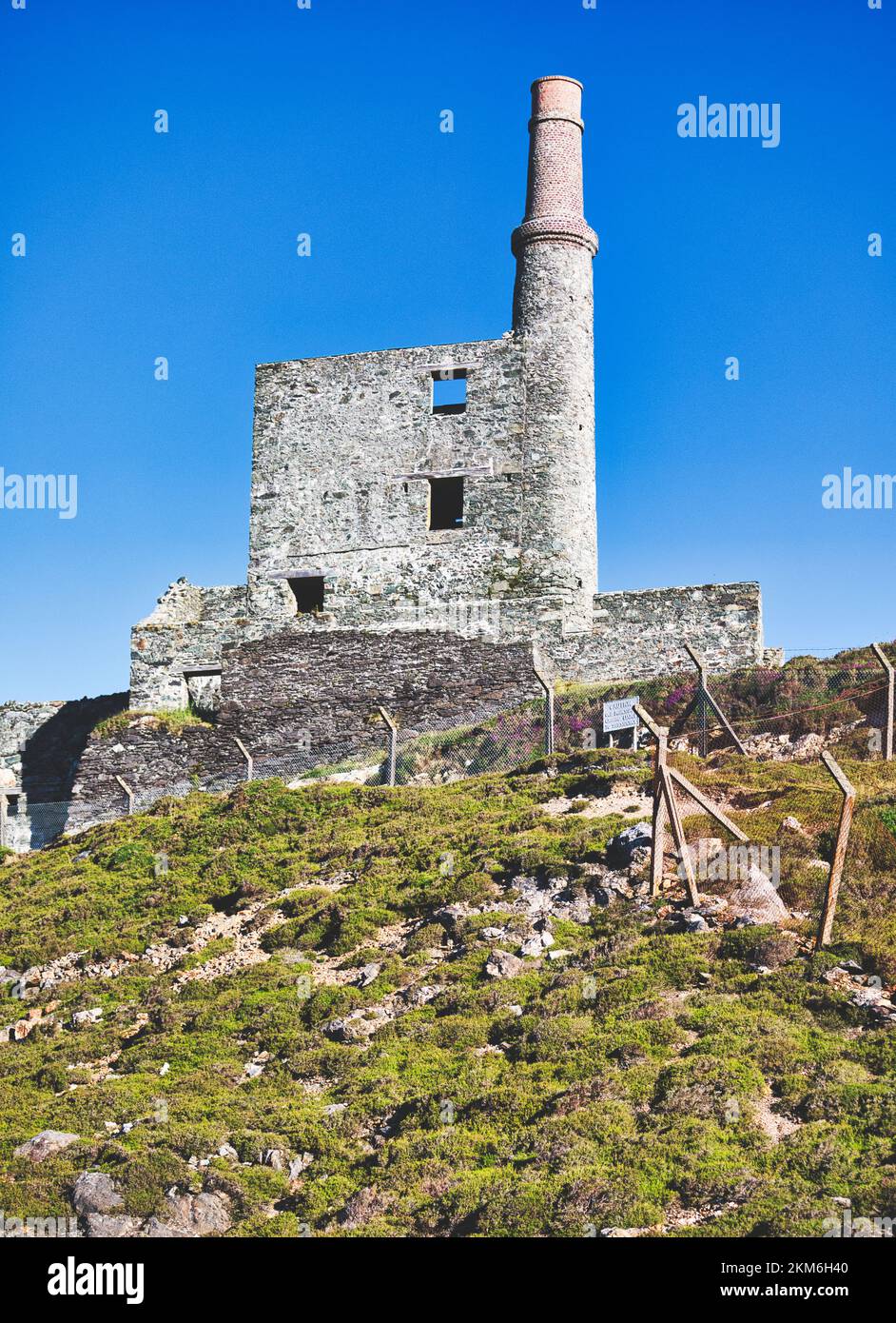 MineMine, copper · 1463 yd
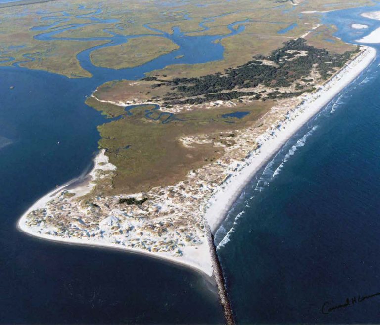 Bird IslandIslet · 1.1 mi
 Creamery PlatformMemorial · 1.3 mi
 Castle (Site of)Castle, unclassified · 1.3 mi
 KnocknamaddreeMountain / peak · 1.4 mi
 Church in Kilbarry (carbery West (w.d) By.)Church · 1.9 mi
 Barley CoveHeritage attraction · 2.0 mi
 Chimney CoveBeach / strand · 2.1 mi
 Dunlough CastleHeritage attraction · 2.7 mi