What is recorded here
In rough pasture, on the NW side of a ridge. Two cupmarks (diam. 0.09m; D 0.03m and diam. 0.08m; D 0.025m, respectively) are visible on the surface of an area of bedrock. There are several other unclear depressions of various sizes on the rock but these appear to be naturally occurring.
The above description is derived from 'The Archaeological Inventory of County Cork. Volume 5' (Dublin: Stationery Office, 2009).
Date of upload: 22 December 2009
Likely dating to the Neolithic or Bronze Age, cupmarked stones are often associated with ritual or ceremonial activity. Their exact meaning remains unclear, though they may have had symbolic, astronomical, or social significance within prehistoric communities.
The monument record does not grant public access. Check the route and ask the landowner before entering private land.
- What survives
- Recorded monument
Places near here
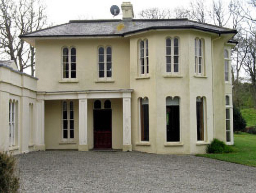 Lough Ine Househunting/fishing lodge · 557 yd
 ClochánCastle · 734 yd
 Kill Burial Gd (Childrens)Burial ground · 807 yd
 Trá na BóBeach / strand · 894 yd
 Templebreedy (in Ruins)Church · 936 yd
 Wild Atlantic Way:Lough HyneVisitor information · 979 yd
 TralispeanBeach / strand · 1232 yd
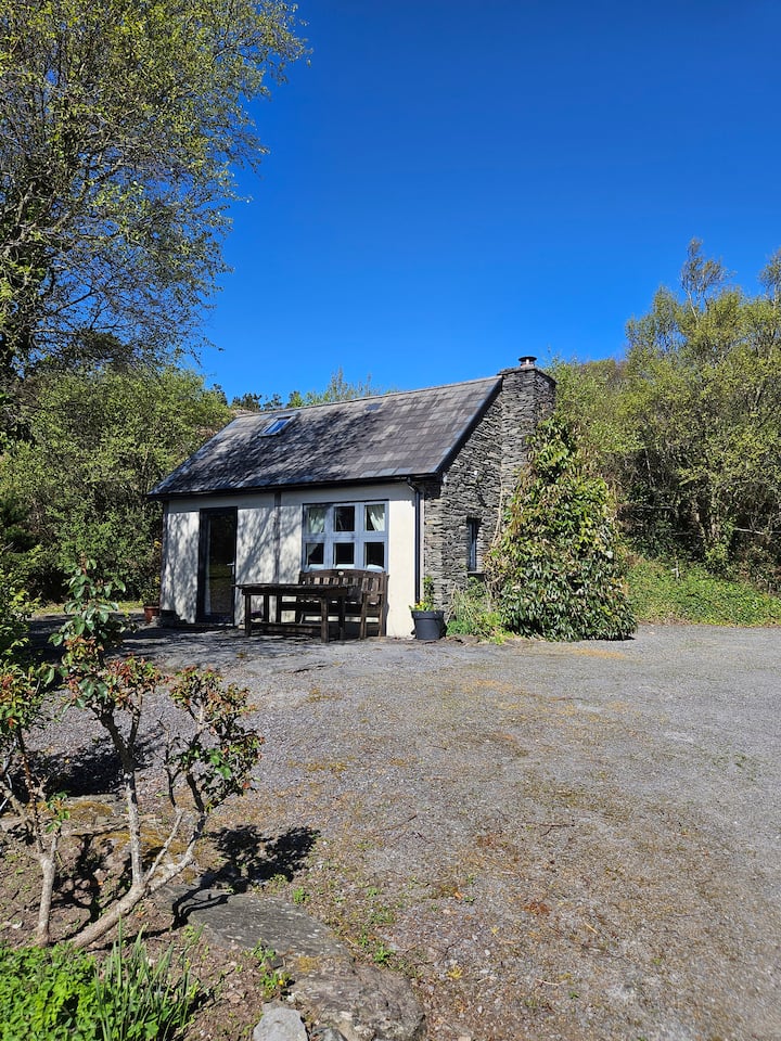 Hut site in GlannafeenHut site · 1240 yd
 Bullock IslandIslet · 1362 yd
 Walk 5 - Lough Hyne (7km)Walking route · 1599 yd
 KnockomaghMountain / peak · 1.0 mi
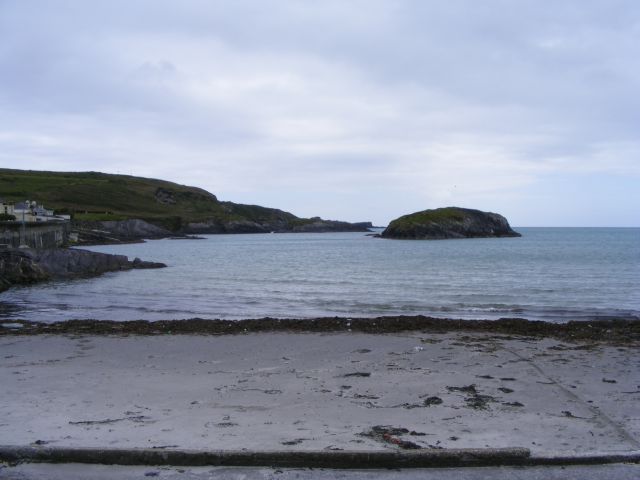 Drishane IslandIslet · 1.1 mi