What is recorded here
Cullahoof Fort is a fairy fort in County Mayo, Ireland, marked on maps since 1838. Its oval earth bank rises slightly above pasture, with one side worn smooth and another topped by a small grassy mound. Local story calls it a fairy fort, suggesting the ground itself may still belong to unseen residents. Walking past it at dusk, you might feel watched not by malice but by patience, as if the fort has been waiting for someone to notice its shape.
In gently undulating average pasture, located on a rise. It is located close to the SW boundary of the townland.
This rath is named ‘Cullahoof Fort’ on the 1838 and 1929 OS 6-inch maps. It consists of a raised oval area (c. 25m NW–SE; c. 27.7mm NE–SW) defined by a scarp (Wth slope 2m; H 1.4m at SW). The scarp is well defined at NE and at S–SW, but elsewhere is low and degraded, with a broadly slumped external slope. At NE the scarp is topped with a grass-covered rise (L 4m; Wth 3.9m; H 0.75m) of earth and stones, which appear to be the result of disturbance or field clearance, rather than remnants of an original bank. There is a gentle slope down from NW to SE in the SE half of the interior.
Compiled by: Jane O’Shaughnessy
Date of upload: 2 May 2019
Cullahoof Fort is an early-medieval ringfort, likely dating to between the 5th and 10th centuries, and is associated with local folklore involving fairies or other supernatural beings, as suggested by its designation as a "fairy fort." The site appears on historical maps as a raised oval earthwork, typical of defensive or agricultural settlements of the period.
The monument record does not grant public access. Check the route and ask the landowner before entering private land.
- What survives
- Recorded monument
Places near here
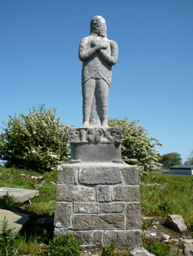 Grave monumentGrave monument · 716 yd
 Site of ChurchChurch · 748 yd
 CastleCastle, unclassified · 798 yd
 IndicatedFairy fort / earthen ringfort · 873 yd
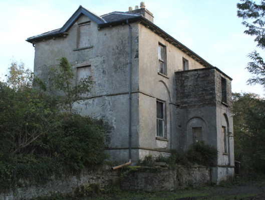 rectory/glebe/vicarage/curate's houserectory/glebe/vicarage/curate's house · 1310 yd
 Bawn in Meelick (tirawley By.)Bawn · 1486 yd
 Battlefields of MoyneBattlefield · 1.1 mi
 Moyne AbbeyHeritage attraction · 1.3 mi
 Battle of Killalabattle · 1.6 mi
 Green IslandIslet · 1.7 mi
 Gortabradawn PointHeadland · 1.7 mi
 Barnasock PointHeadland · 1.8 mi
Other information
Photo: Credit not shown in the picture search · Rights wording not checked; contact us if this picture should be removed