What is recorded here
Half a mile from the last named road, the land stops pretending to be ordinary. The surveyors kept returning to the same point, not because they were certain, but because certainty had left them. They drew lines around nothing visible, as if the dark had taught them that some places must be drawn before they can be believed.
At crossroads. No obvious evidence for burial ground marked as 'Crossnalanniv' on 1842, 1904 and 1943 OS 6-inch maps.
The above description is derived from the published 'Archaeological Inventory of County Cork. Volume 3: Mid Cork' (Dublin: Stationery Office, 1997). In certain instances the entries have been revised and updated in the light of recent research.
Date of upload/revision: 14 January 2009
The monument record does not grant public access. Check the route and ask the landowner before entering private land.
- What survives
- Recorded monument
Places near here
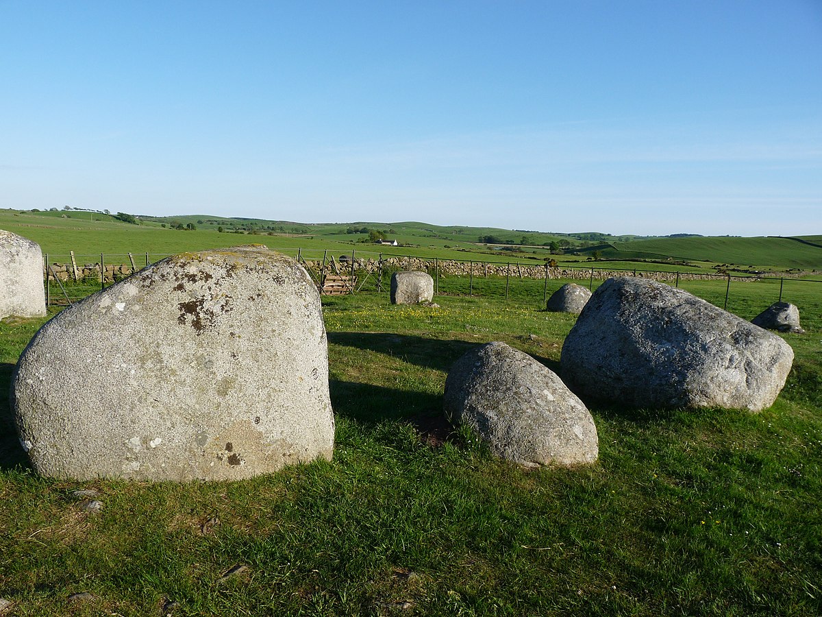 BarrowBarrow, ring-barrow · 1028 yd
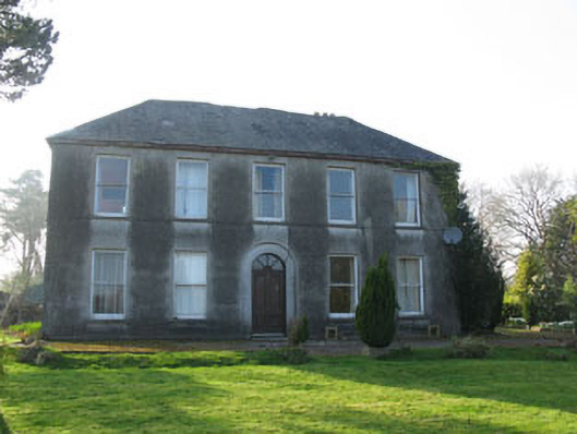 Lee Viewhouse · 1.2 mi
 Fairy fort / earthen ringfort in MountmusicFairy fort / earthen ringfort · 1.2 mi
 Castle (Site of)Castle, unclassified · 1.2 mi
 St Finbarr's Roman Catholic Churchchurch/chapel · 1.2 mi
 Sessile OakSessile Oak · 1.7 mi
 Mashanaglass Castle (in Ruins)Castle, tower house · 2.0 mi
 Summerhouse WoodForest · 2.1 mi
 Battle of Macroombattle · 2.4 mi
 Macroom WalksVisitor information · 2.6 mi
 Priest MemorialMemorial · 3.1 mi
 Kilmurry WoodsPicnic place · 3.2 mi