
Places near here
Photo credits
- N Chadwick, Geograph · CC BY-SA 2.0
- Mike Faherty, Wikimedia Commons · CC BY-SA 2.0
- Golfing in Ireland; photographer not stated, Source publisher
- Eric Jones, Wikimedia Commons · CC BY-SA 2.0
- Mike Faherty, Geograph · CC BY-SA 2.0
- Kenneth Allen, Geograph · CC BY-SA 2.0
- Cormac Duffin, Geograph · CC BY-SA 2.0
- Kenneth Allen, Wikimedia Commons · CC BY-SA 2.0
 Layd Old Church (ruins)Ruins · 1112 yd
Explorer Tom Layd Old Church has a bad poem written about it by a local poet who clearly didn't like rhyming 'church' with anything…
 Cushendall Presbyterian ChurchChurch · 1637 yd
Explorer Tom Cushendall Presbyterian Church is playing hard to get, which is annoying because I want to go in and check if there’s…
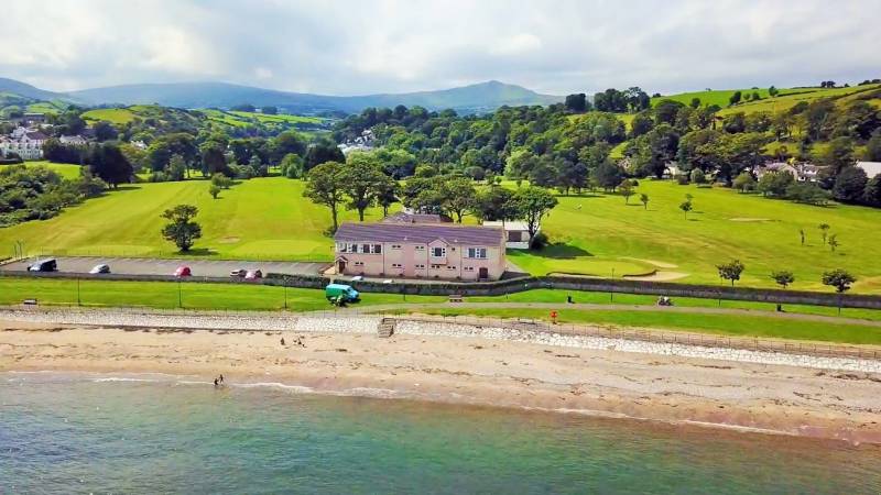 Cushendall Golf ClubGolf course · 1.0 mi
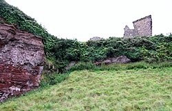 Red Bay CastleArchaeological place · 2.1 mi
Explorer Tom Red Bay Castle in County Antrim is in a massive drama with the nearest tree, arguing over who gets the best view of the…
 Motte; two baileys; tower-house; curtain wall; possible site of promontory fort: red bay castle in Red BayMotte · 2.1 mi
Explorer Tom Red Bay Castle in Red Bay has two baileys, a tower-house, and maybe a promontory fort. That’s a lot of real estate for…
 Caves of CushendunHeritage attraction · 2.1 mi
Explorer Tom Caves of Cushendun has an unlikely celebrity friend who is definitely not allowed in here but keeps trying to sneak in…
 LurigethanMountain / peak · 2.5 mi
Explorer Tom Lurigethan hosted a dance that went on so long the band quit from sheer boredom. Now it just stands there judging your…
 The White LadyNamed rock · 4.6 mi
Explorer Tom The White Lady has a curse that only affects people who don’t wave back when they pass by. She’s a rock shaped like a…
 Big Gortgole ForestForest · 22 mi
Explorer Tom Big Gortgole Forest took about ten thousand cups of tea to build, mostly by very thirsty forestry workers. The trees…
 Bracknamuckley ForestWood · 22 mi
Explorer Tom Bracknamuckley Forest handles nosey neighbours by simply growing a new tree right in front of their face, effectively…
 Ford & site of battle; 1689 (c.f. Ldy 033:033) in PortglenoneFord & Site of Battle · 23 mi
Explorer Tom Ford & Site of Battle, 1689 in Portglenone is where history got wet. Locals claim a general slipped on a duck and lost…
Ford across R. bann & site of battle, 1689 (see also ant 031:052 for opposite side of the river) in GlenoneFord across R. bann & site of battle, 1689 (see also ant 031:052 for opposite side of the river) · 23 miExplorer Tom This ford across the River Bann is where a battle happened in 1689, which is old news to the river. There’s a massive…
More mountains and hills in County Antrim · All of County Antrim

What do you know about this place?Tap to add a comment or ask a question