What is recorded here
Three wayside crosses lost their shafts but kept their heads, which is why Relagh Beg still shows crucifixion instead of forgetting it. The cross-slab beside the nave carries the name Ór Du Ulbran, while two heads mark 1684 and 1686, years when ordinary people were still chiselling prayer into stone. A font, a holed stone and a cleric’s graveslab circle the place like remnants of a small busy world.
Embedded in concrete beside the N wall of the nave of the church (CV034-046001-) are a cross-slab and three cross-heads, with three shafts constituting the remains of three former wayside crosses. Each of the cross-heads depict the crucifixion and two bear inscriptions, one dating to 1684, the other to 1686. A font lies nearby, while a holed stone (diam. of hole c. 0.18m) and a graveslab depicting a cleric in medieval garb, are situated E of remains of Church (King 1987, 303-5).
The cross-slab carries an inscription. The word ‘Ór’ was read by M. A. Timony, but the remaining inscription was recorded by Brian Callaghan. A 3-D image by Gary Dempsey enable Prof. David Sirfer of NUI Maynooth to read the complete inscription was read as: ÓR Du Ulbran. The cross-slab is considered to be a national monument as defined in S.2 of the National Monuments Act 1930 on the basis of its archaeological, historical and architectural importance.
See the attached image kindly provided by Gary Dempsey
The above description is derived from the published 'Archaeological Inventory of County Cavan' (Dublin: Stationery Office, 1995). In certain instances the entries have been revised and updated in the light of recent research.
Date of revision: 21 April 2017
Likely dating to the early medieval period, the cross-slab and associated fragments may have served as religious markers or memorials, reflecting Christian traditions in the local landscape. Such stones often carried symbolic or devotional significance, possibly linked to pilgrimage routes or territorial boundaries.
The monument record does not grant public access. Check the route and ask the landowner before entering private land.
- What survives
- Recorded monument
Places near here
 Grave YardGraveyard · 6 yd
 Church (in ruins)Church · 15 yd
 MoatCastle, motte and bailey · 153 yd
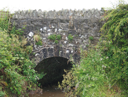 County Bridgebridge · 760 yd
 Tullynaskeagh EastForest · 1737 yd
 Cormeen FortFairy fort / earthen ringfort · 1.0 mi
 Blackhills LowerMountain / peak · 1.1 mi
 Tullynaskeagh WestForest · 1.2 mi
 TeevurcherMountain / peak · 1.5 mi
 CastleCastle, tower house · 2.4 mi
 Sally IslandIslet · 3.9 mi
 Birthplace of General Philip SheridanMemorial · 4.0 mi