What is recorded here
Reary More in County Laois holds one of three rectangular slabs decorated with double zig-zags, a snake pattern, concentric circles and lozenges. It has no obvious cross, though a small central mark may suggest one. The slab now stands in the sacristy of the R.C. church in Rosenallis, removed from the northwest angle of the old church. Its geometry still catches the eye like a forgotten language half-remembered.
One of three rectangular shaped slabs with incised and false relief geometrical designs but no obvious crosses except for a possible small tan in the centre of one, situated in NW angle of church (LA003-003001-). (JKAS 1938, 109). Now in the sacristy of the R.C. church in Rosenallis (LA003-025/001/002-).
Described as slab 1 by Leask in 1938 as a 'Slab 2 ft. by 6 ins. By 1 ft. 4 ins. The designs are a double zig-zag broder on longsides; snake pattern at top, three-fold concentric circle; triple median line; lozenges to left of same zig-zag to right, and two single border lines' (Leask 1938, 109). (LA003-025)
The above description is derived from the published 'Archaeological Inventory of County Laois' (Dublin Stationery Office, 1995) compiled by P. David Sweetman, Olive Alcock and Bernie Moran. In certain instances the entries have been revised and updated in the light of recent research.
Date of upload: 17 December 2007
Date likely to the early medieval period, possibly 7th to 10th century AD, based on the style of incised and false relief geometric designs. The possible small tan may indicate a Christian adaptation or symbolic marker, though its original prehistoric meaning remains uncertain.
The monument record does not grant public access. Check the route and ask the landowner before entering private land.
- What survives
- Recorded monument
Places near here
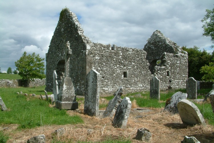 Rearymore Ch. (in Ruins), Grave Yd.Church · 28 yd
 Raheen FortEnclosure · 1.1 mi
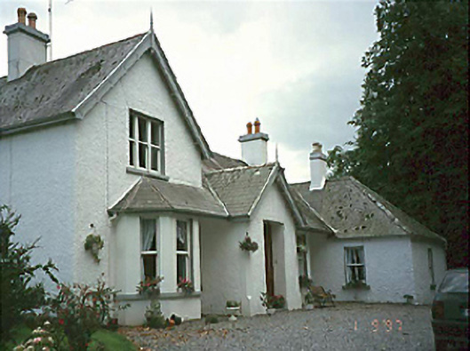 Clarahill Househouse · 1.4 mi
 CastleCastle, unclassified · 1.8 mi
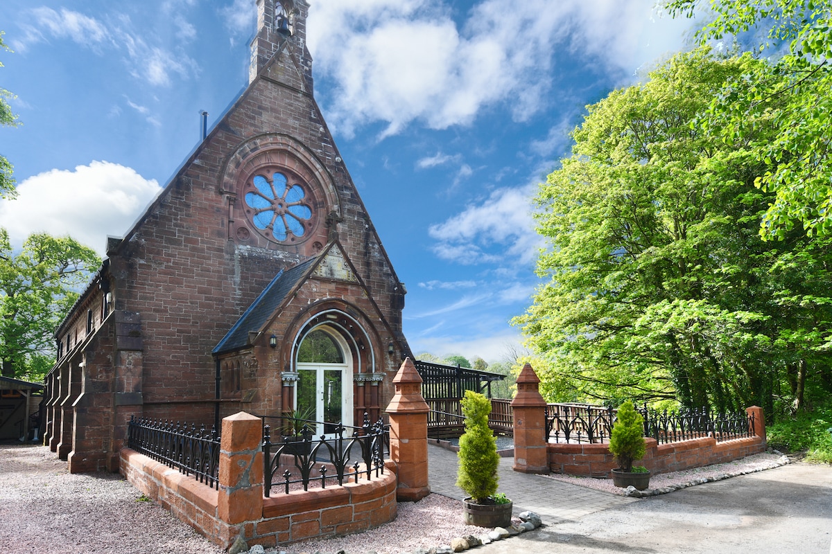 Church (Site of)Church · 1.9 mi
 Ballynakill Castle (ruins)Castle · 2.0 mi
 Kilmanman church (in Ruins), GraveyardChurch · 2.9 mi
 Red HillMountain / peak · 3.1 mi
 Mick the MillerMemorial · 3.7 mi
 Mullagh HillMountain / peak · 3.9 mi
 Derryad WoodForest · 3.9 mi
 Burnett's WoodForest · 4.1 mi