What is recorded here
Originally a circular area (DG013-003001-) enclosed by an earthen bank surviving up to 2m in height in a few places on the NW side, a fosse c. 0.5m deep and an outer bank, very little of which survives. It is situated on good land close to the cliff edge above Glennagiveny Bay. A small stone cross-slab now in safe keeping in Moville is said to have been found on the NE side of the enclosure. The slab is .61m long × 0.15m to .08m wide. On the wider end of one face a wheeled Latin cross is carved in relief.
The above description was derived from the 'Archaeological Survey of County Donegal. A description of the field antiquities of the County from the Mesolithic Period to the 17th century.' Compiled by: Brian Lacey with Eamon Cody, Claire Cotter, Judy Cuppage, Noel Dunne, Vincent Hurley, Celie O'Rahilly, Paul Walsh and Seán Ó Nualláin (Lifford: Donegal County Council, 1983). In certain instances the entries have been revised and updated.
Date of upload: 22 September 2008
The monument record does not grant public access. Check the route and ask the landowner before entering private land.
- What survives
- Recorded monument
Places near here
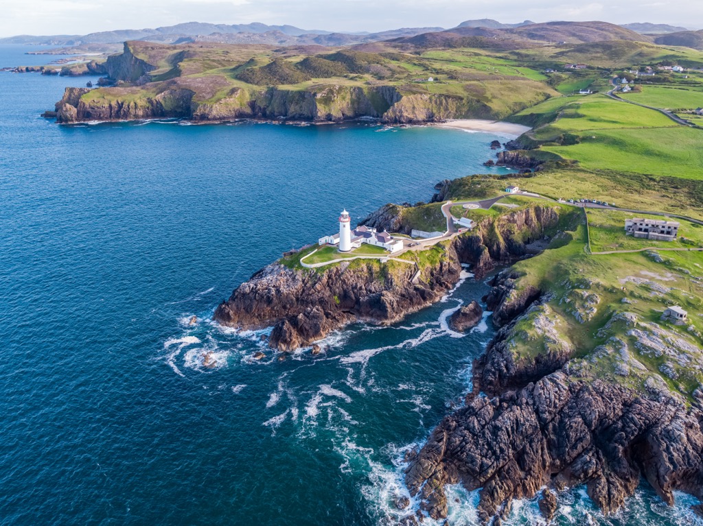 Glennagiveny Bay Cliff-Edge Fairy FortFairy fort / earthen ringfort · 18 yd
 Claggan Bridgebridge · 601 yd
 The Spanish Armada 1588Memorial · 1431 yd
 Rose Cottagehouse · 1.3 mi
 CrockaulinMountain / peak · 2.3 mi
 Carrowtrasna EnclosureEnclosure · 2.8 mi
 Cliffs, Inishowen HeadPublicly named cliff or headland · 3.0 mi
 Tremone BayBeach / strand · 3.1 mi
 Port a Dorais Cave and Natural DoorSea cave and natural arch · 3.1 mi
 StrooveOfficial bathing water · 3.2 mi
 Greencastle Martello FortCastle · 3.3 mi
 Dunagree PointHeadland · 3.3 mi