What is recorded here
A crude cross-shaped stone .5m high .17m wide at the base widening to .22m at the arms. The stone is aligned N-S. On the E face is a simple Latin cross.
The above description was derived from the 'Archaeological Survey of County Donegal. A description of the field antiquities of the County from the Mesolithic Period to the 17th century.' Compiled by: Brian Lacey with Eamon Cody, Claire Cotter, Judy Cuppage, Noel Dunne, Vincent Hurley, Celie O'Rahilly, Paul Walsh and Seán Ó Nualláin (Lifford: Donegal County Council, 1983). In certain instances the entries have been revised and updated.
Date of upload: 22 September 2008
Likely dating to the early medieval period, this cross-slab may have served a Christian commemorative or ritual function. The Latin cross suggests a connection to early Christian symbolism, though specific folklore or wider significance is not recorded.
The monument record does not grant public access. Check the route and ask the landowner before entering private land.
- What survives
- Recorded monument
Places near here
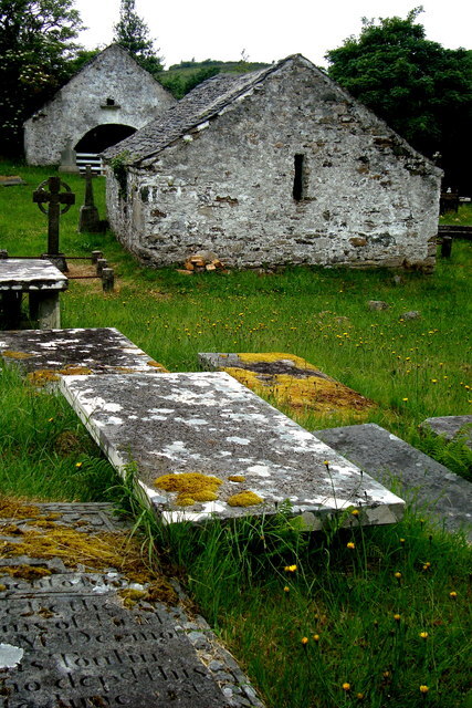 Inishkeel Graveyard near GlentiesGraveyard · 1 yd
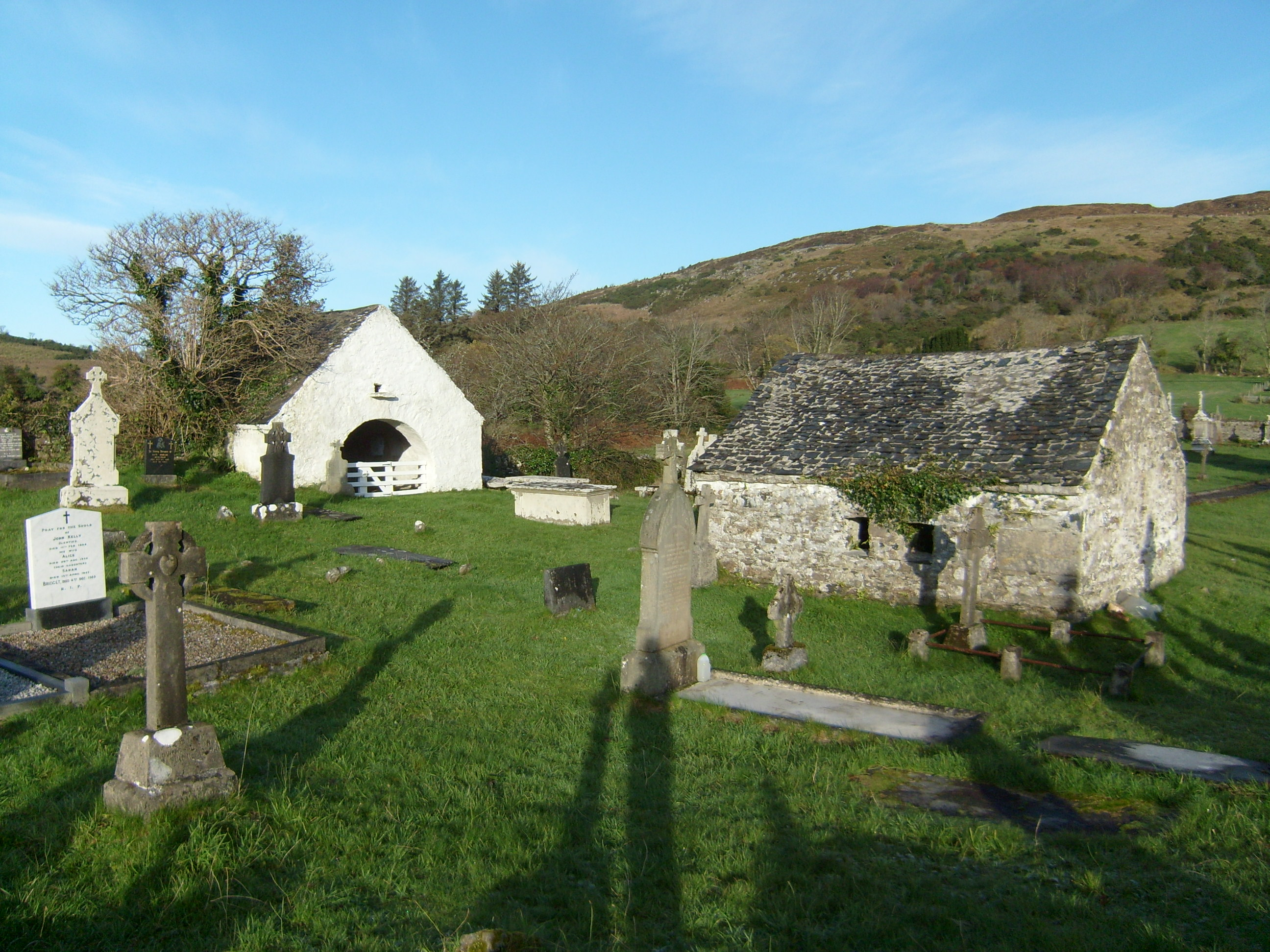 mausoleummausoleum · 103 yd
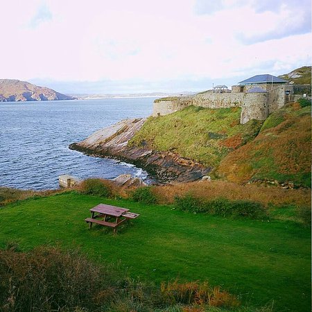 Drumnasillagh Inland Promontory FortPromontory fort, inland · 672 yd
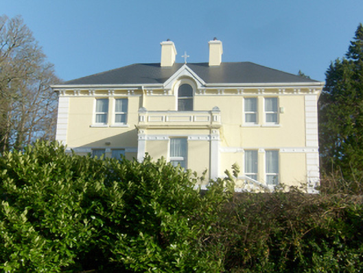 St. Columba’s Catholic Presbyterypresbytery/parochial/curate's house · 1491 yd
 St. Connell's Museum and Heritage CentreMuseum · 1629 yd
 Kilrean Upper Fairy FortFairy fort / earthen ringfort · 2.1 mi
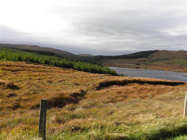 Derkmore Wood Nature ReserveNature reserve · 3.6 mi
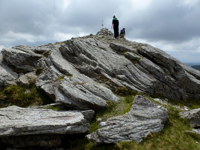 CarnaweenMountain / peak · 3.8 mi
 Dermot & Grania's BedCave · 3.8 mi
 Cloghmeen HillMountain / peak · 3.9 mi
 Wych ElmWych Elm · 4.2 mi
 Disert GraveyardGraveyard · 4.8 mi