
What is recorded here
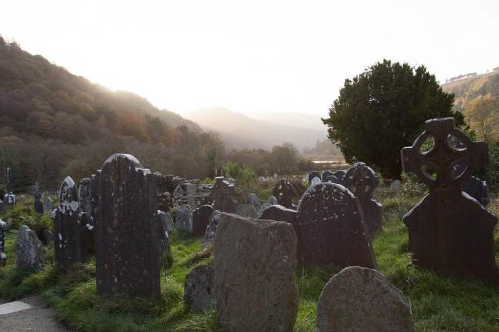
A slab .87m × 0.25m × 0.1m at present aligned E-W. On the N face is a cross with a circle to the top and two-thirds of a circle to the base. The cross-bar is thicker than the shaft and there is a small circular depression at the junction. The cross-slab originally stood nearby, to the SW. The area consists of pasture…
Read the whole record
From the National Monuments Service (Archaeological Survey of Ireland) record DG073-010
Places near here
Photo credits
- Maker not stated on source page, myrealtravel.com
- Maker not stated on source page, commons.wikimedia.org
- Maker not stated on source page, en.wikipedia.org
- Robert Bone, Wikimedia Commons · CC BY-SA 2.0
- Maker not stated on source page, za.pinterest.com
- Joseph Mischyshyn, Geograph · CC BY-SA 2.0
- Maker not stated on source page, www.flickr.com
- Rossographer, Wikimedia Commons · CC BY-SA 2.0
- National Inventory of Architectural Heritage
- N Chadwick, Wikimedia Commons · CC BY-SA 2.0
- Rossographer, Geograph · CC BY-SA 2.0
- Maker not stated on source page, traveller-eu.ru
 Bullaun stone in DrumirrinBullaun stone · 1015 yd
Explorer Tom The bullaun stone in Drumirrin claims it survived a storm so bad the sky turned purple, which is probably a lie but…
 Kilcashel GraveyardCemetery · 1225 yd
Explorer Tom Kilcashel Graveyard was famously avoided by a bishop who claimed the ghosts were too loud for his delicate ears, which…
 Enclosure in KilcashelEnclosure · 1464 yd
Explorer Tom Enclosure in Kilcashel is currently locked in a dramatic standoff with the nearest tree, arguing over who has the…
 Carrickalahagh HeadlandPublicly named cliff or headland · 1676 yd
Explorer Tom Carrickalahagh Headland is a cliff that would teach history by throwing pebbles at you every time you get a fact wrong…
 Oileán an GhainimhIslet · 1.3 mi
Explorer Tom Oileán an Ghainimh in Donegal was nearly sold off for a horse in the 1800s because the seller couldn't spell its name…
 Tramore StrandBeach / strand · 1.4 mi
Explorer Tom Donegal owns enough places called Tramore to keep an explorer on his toes, so let us begin at the right one: the long…
 Green IslandIslet · 1.5 mi
Explorer Tom Green Island in County Donegal has a family tree that I’m pretty sure is just a bunch of rocks named after uncles who…
 Maghera StrandBeach / strand · 1.6 mi
Explorer Tom Maghera Strand has mountains behind its sand and sea caves tucked into the cliffs, as though Donegal looked at one…
 outbuilding1.9 mi
Explorer Tom Outbuilding in Shanaghan was built around 1860 with a rounded straw-thatch roof tied to stone pegs in its rubble walls.…
 Maghera CavesSea caves · 2.0 mi
Explorer Tom Maghera Caves are Donegal's invitation to be curious and its firm reminder to check the tide before curiosity turns…
 Assaranca WaterfallWaterfall · 2.0 mi
Explorer Tom Assaranca Waterfall makes a wonderfully bold entrance beside the coast road west of Ardara. After rain it throws water…
 Shanaghan GraveyardGraveyard · 2.0 mi
Explorer Tom Shanaghan Graveyard is marked on old maps, yet no trace of the church or burial ground survives. It’s sitting in rough…
More archaeology and monuments in County Donegal · All of County Donegal

What do you know about this place?Tap to add a comment or ask a question