What is recorded here
An incised double-lined ringed cross on a pyramidal base marks the west wall of Dromkeen South, preserving a sacred identity through ruin. George Du Noyer drew it in the nineteenth century and William Frazer copied it in 1905, testifying that its clarity survived when the church itself faded. The slab still stands above the remains, inviting wonder about the prayers, losses and hopes that shaped its lines.
Set face up into concrete surround on top of W wall (H 0.8m) of Dromkeen medieval parish church ruins (LI024-001001-). Rectangular shaped stone slab (L 1.46m; Top Wth 0.57m; base Wth 0.53m; T 0.17-0.23m) decorated with an incised double lined ringed cross standing on a pyramidal-shaped base. Described by Crawford (1912, 240) as 'carved with a two-line ringed cross on a triangular base.' Cross-slab first drawn in the 19th century by George Du Noyer (1817-69) and a copy of which was made by William Frazer in 1905 (NLI, PD 1975 TX 19 (61) ).
Compiled by: Denis Power
Revised by: Caimin O'Brien
Date of revised upload: 04 January 2019
Cross-slab in Dromkeen South likely dates to the early medieval period, associated with Christian symbolism and possibly used as a memorial or waymarker. The cross may reflect local Christian traditions or ecclesiastical influence in the area.
The monument record does not grant public access. Check the route and ask the landowner before entering private land.
- What survives
- Recorded monument
Places near here
 Dromkeen Church (in ruins)Church · 4 yd
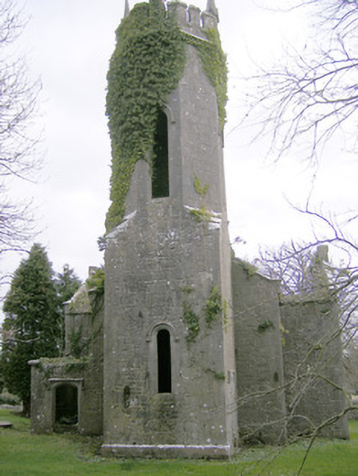 Dromkeen Churchchurch/chapel · 31 yd
 CastleCastle, unclassified · 214 yd
 Enclosure in Dromkeen SouthEnclosure · 843 yd
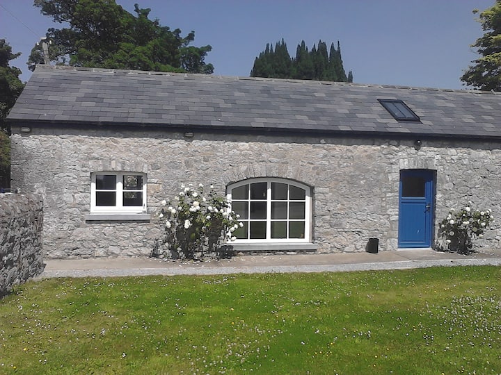 Enclosure in Ballyadam (clanwilliam By.)Enclosure · 1004 yd
 Castle-erkin (Site of) partially hachuredCastle, unclassified · 1.5 mi
 KnockseefinMountain / peak · 2.1 mi
 ToberagaddySpring · 3.4 mi
 St. Patrick's WellSpring · 3.6 mi
 Graveyard in AbingtonGraveyard · 3.8 mi
 Kilteely HillMountain / peak · 4.0 mi
 Sliev Felim WayVisitor information · 5.0 mi