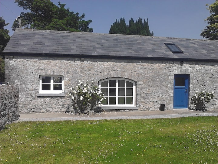
What is recorded here
Identified from an aerial photograph (Bruff Survey: Map 23, Bruff 23.1: AP 4/3735) and described by Doody (2008, 131) as an 'oval, possibly bivallate E-W enclosure, c. 50m E-W x 35m N-S'; the morphology of this enclosure indicates that it may be Bronze Age in date (ibid.).
Compiled by: Denis Power
Date of upload: 6 November 2013
The monument record does not grant public access. Check the route and ask the landowner before entering private land.
- What survives
- Recorded monument
Places near here
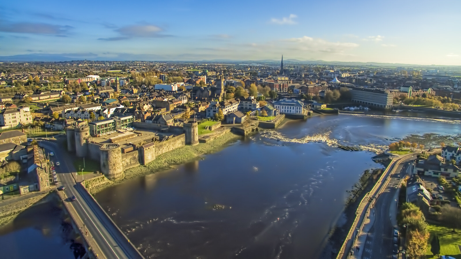 Field system in ClashbaneField system · 645 yd
 Megalithic tomb in Ballyadam (clanwilliam By.)Megalithic tomb · 733 yd
 Dromkeen Church (in ruins)Church · 1008 yd
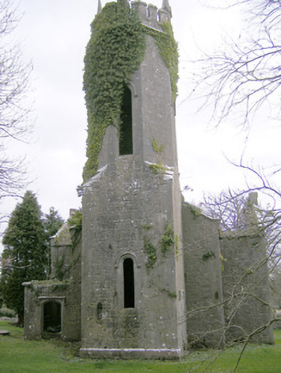 Dromkeen Churchchurch/chapel · 1009 yd
 CastleCastle, unclassified · 1198 yd
 Ballyvorneen Ho.Castle, tower house · 1.1 mi
 KnockseefinMountain / peak · 2.6 mi
 St. Patrick's WellSpring · 3.6 mi
 Graveyard in AbingtonGraveyard · 3.8 mi
 ToberagaddySpring · 3.9 mi
 Kilteely HillMountain / peak · 4.1 mi
 Sliev Felim WayVisitor information · 5.0 mi
Other information
Photo: Credit not shown in the picture search · Rights wording not checked; contact us if this picture should be removed